Your sites, flown for you — across the UK.
heliguy installs the dock, holds the approvals and flies your sites to an agreed schedule — from one command centre. You own the sites. We operate them under our authorisation.
dialogue with the CAA
options iterated
demonstration flights
with 24-bit ICAO
You don’t need your own approval.
Standing up your own BVLOS operation means 18+ months of safety-case dialogue with the CAA, a specialist team, and six figures of cost — before a single flight. Or your sites fly under heliguy’s operational authorisation, from day one.
Everything between the site and the data — handled.
A per-site service, not a product sale. You keep operating your business; the drone programme runs in the background as a service heliguy owns end to end.
Installation
Site survey, dock siting and power/comms — the DJI Dock 3 commissioned and connected.
Approvals
The BVLOS safety case and CAA authorisation for each site — written, argued and held by us.
Operations
Flights commanded remotely by our BVLOS pilots from the ROCC, to an agreed schedule.
Maintenance
Aircraft, dock and payload kept serviceable — DJI-authorised, UK-based, no downtime to manage.
Data
Inspection-grade imagery and outputs delivered to your teams, capture after capture.
The sites and the schedule.
Access to your locations and what you need flown, how often. That’s the extent of your operational burden.
Everything else.
Hardware, authorisation, pilots, maintenance and the command centre — as one accountable managed service.
The UK BVLOS bottleneck, and what breaks it.
Drone-in-a-box only pays when the drone can fly the whole site. Under visual line of sight, every automated mission still needs eyes on the aircraft — a person on the ground, a chase vehicle, a cap on range. The economics of an autonomous dock collapse the moment you tether it to a human standing in a field.
SAIL II is what unlocks it. A Specific Assurance and Integrity Level II operation lets a docked aircraft fly Beyond Visual Line of Sight along a defined route — no on-site observer — provided the safety case proves containment, conspicuity and contingency to the CAA’s satisfaction. That proof is the entire barrier.
And over live rail is the hardest version of the problem. Moving trains, overhead line equipment, third parties on the network, controlled airspace overhead. If the argument holds here, it holds almost anywhere.
Approvals are not bought. They are argued — and here is the argument.
What each rung of SAIL actually demands.
SAIL — Specific Assurance and Integrity Level — grades how much rigour a Specific-category operation must prove. Move up the ladder to see how ground risk, air risk and the evidence burden change. heliguy’s approval sits at SAIL II.
SAIL II
heliguy · shielded BVLOSShielded BVLOS along a defined route with a docked aircraft. Low-to-moderate risk, but the containment and conspicuity argument must be genuinely proven — this is where heliguy’s rail approval sits.
Flying inside a space other aircraft can’t reach.
The core of a shielded BVLOS argument is the Atypical Air Environment — a volume close to structures where crewed aircraft do not, and should not, fly. Prove the drone stays inside it, and the air-risk problem changes shape. Here’s how the methodology evolved to the version that passed.
Four layers between routine and runaway.
Containment is what convinces a regulator the aircraft cannot leave its volume — and what happens if every prior assumption fails. Peel it back from the outside in. Each layer was demonstrated, not asserted.
Soft containment
Predictable autonomous behaviour
Hard containment
Flight termination system
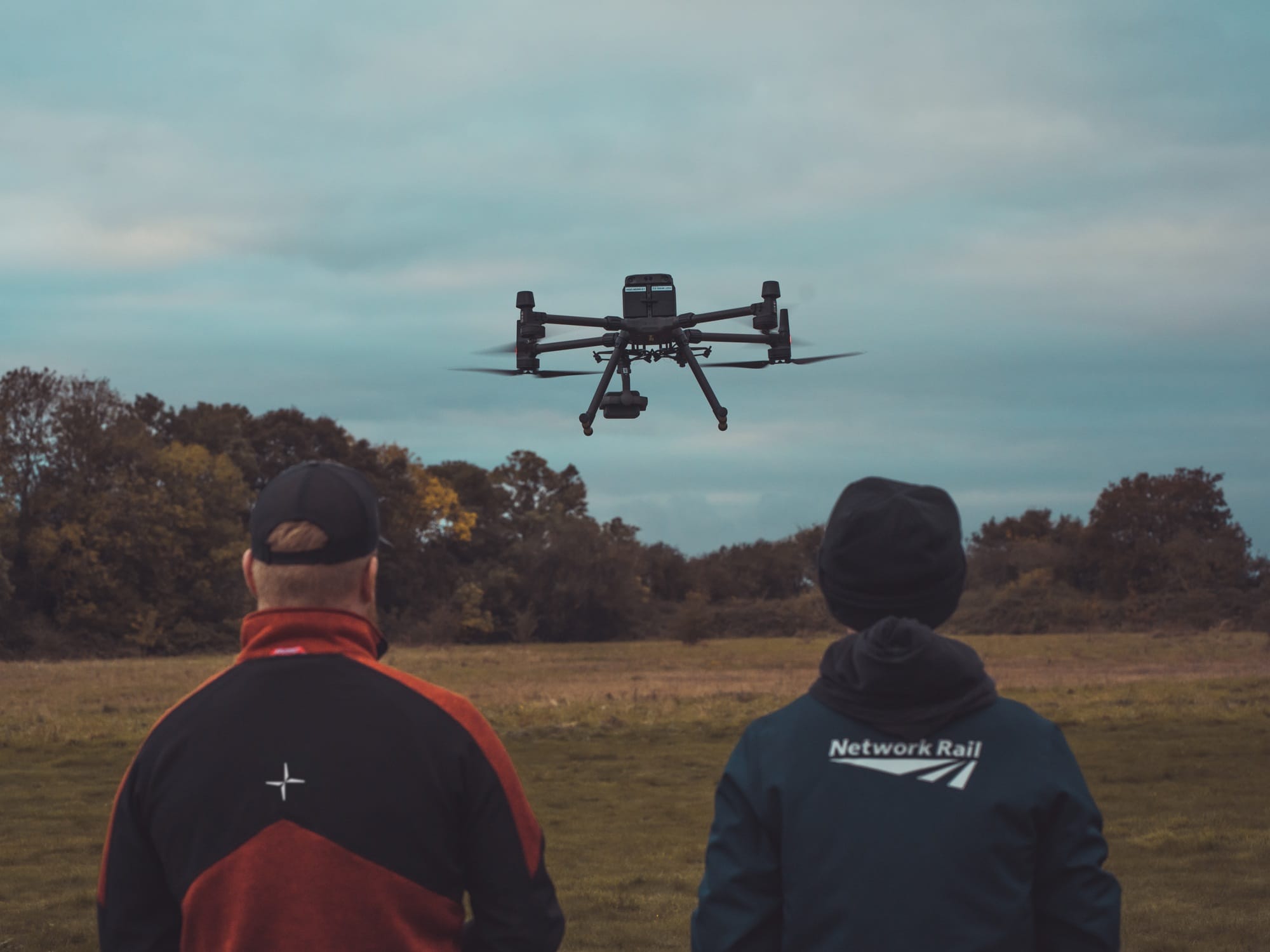
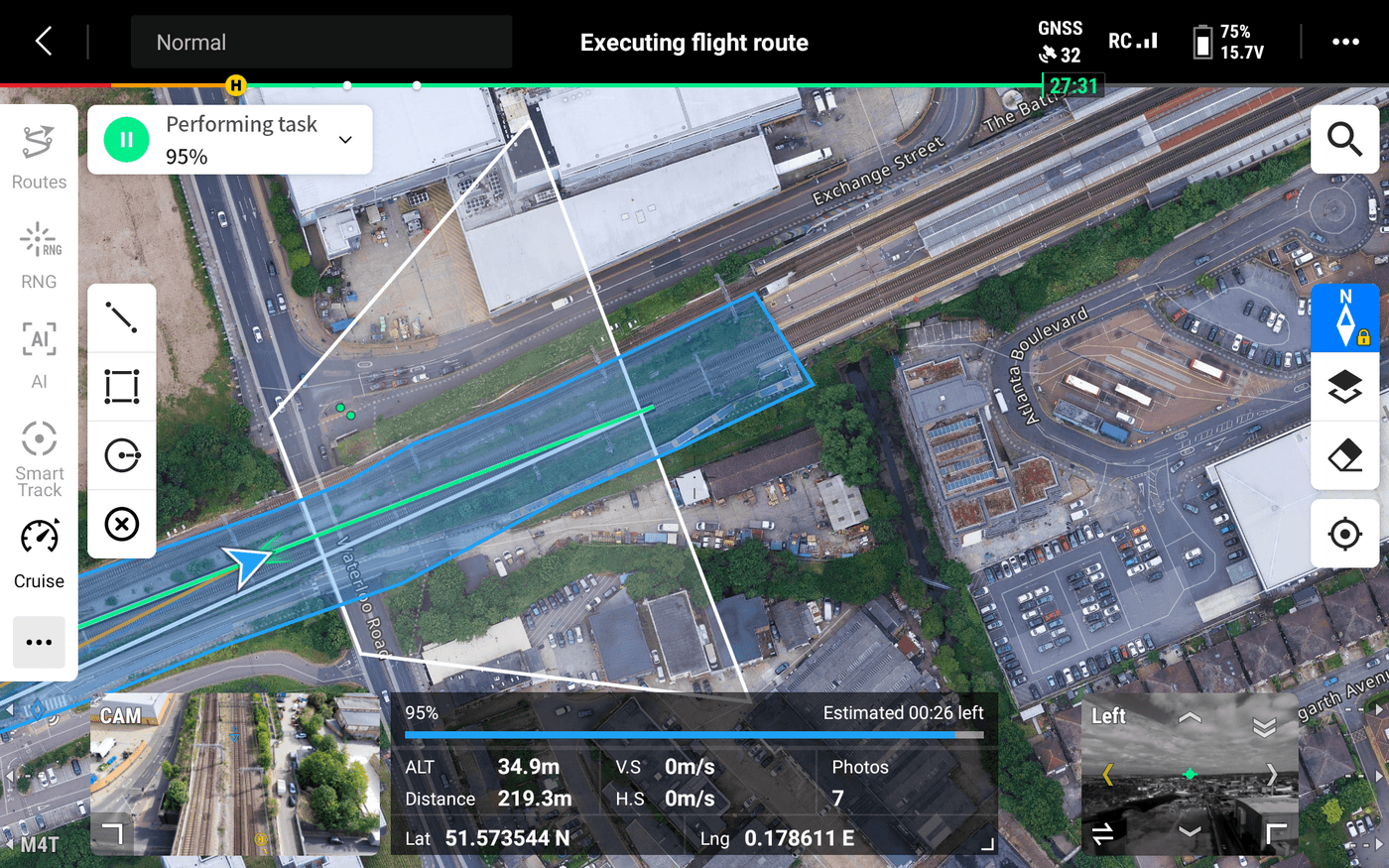
Thirteen flights that turned argument into assurance.
Geofence-proximity runs, deceleration trials, strobe-visibility comparisons and trigger-distance confirmation — the boundary behaviour the CAA needed to see, flown and recorded over live infrastructure.
One command centre. Hundreds of sites.
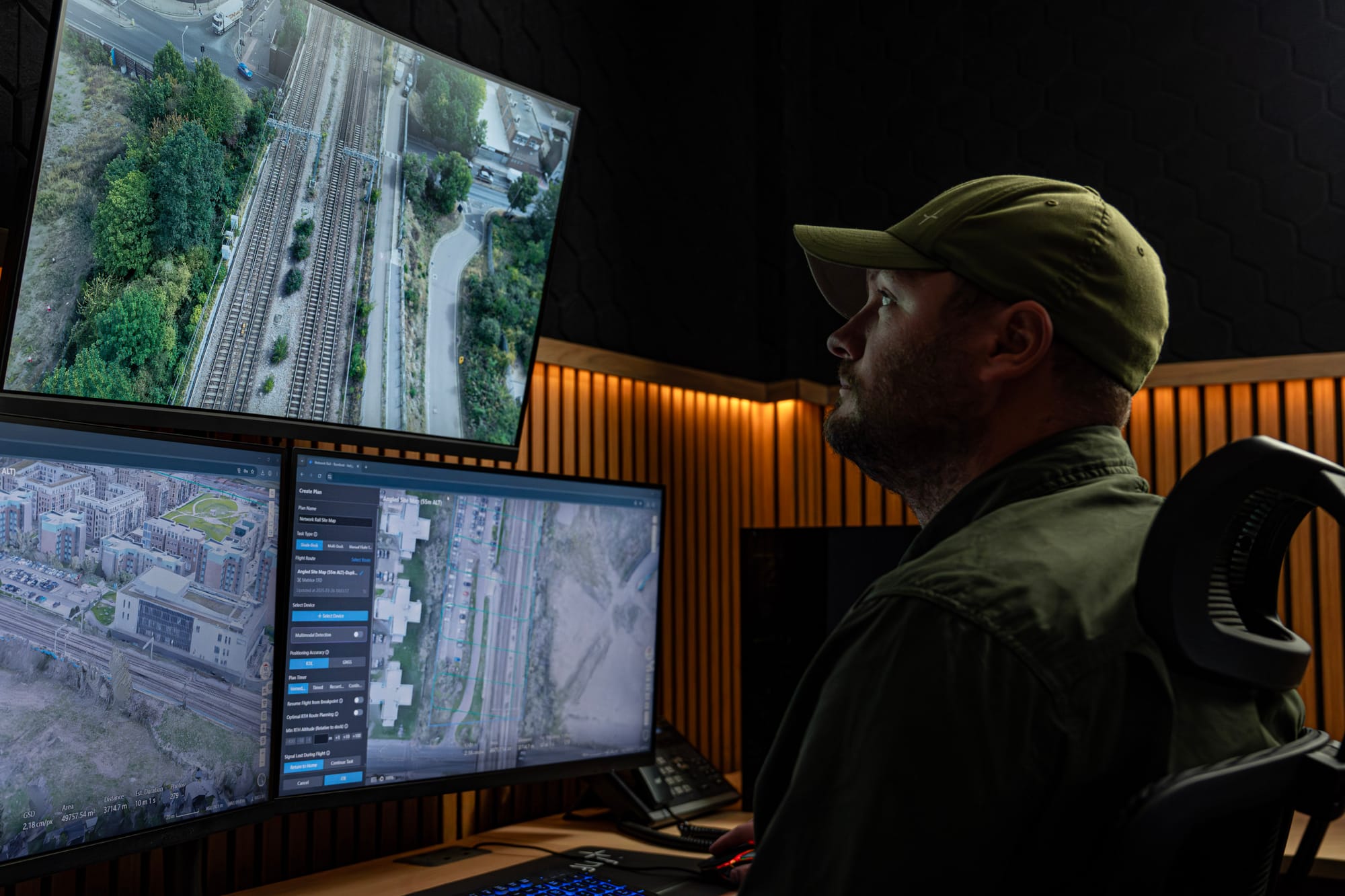
Today the ROCC in Newcastle upon Tyne commands flights over live rail in Romford and Gloucestershire — 200-plus miles away, no one stood beside the aircraft. That’s the model, and it’s built to scale: every new site is another node on the map, not another team on the road. The plan is a national network of sites, all flown from one place.
What the CAA asked — and what it really meant.
An approval is a conversation. The CAA raises findings; you answer them with evidence. These are the themes that shaped ours, written as pattern-level guidance — the questions anyone pursuing SAIL II should expect.
Prove crewed aircraft genuinely won’t be where you’re flying — not just that they’re unlikely to be. The whole air-risk argument rests on this.
The iterated AAE methodology through to Option 5, with the enhanced buffer derived from infrastructure safety requirements after CAA internal review.
A geofence on a slide isn’t assurance. Show the aircraft physically respects the boundary under real conditions.
The layered containment model plus demonstrated deceleration within the containment volume across dedicated proximity flights.
Justify the buffer between where the aircraft normally flies and where it could end up before termination — with method, not guesswork.
A derived contingency-volume methodology tied to the aircraft’s demonstrated behaviour, with the shape of the calculation published and the figures held for sign-off.
Command-and-control is the lifeline. Show what happens when it degrades or drops entirely.
Link-robustness evidence paired with the predictable-behaviour and fail-safe layers, so a C2 loss resolves to a known, safe outcome.
A fail-safe that shares a failure mode with the thing it protects isn’t a fail-safe. Prove independence.
The independently activated FTS with dual-system redundancy, assured to function when every prior layer is exhausted.
Operating near a control zone means the approval isn’t yours alone — ATC and other airspace users have to be accounted for.
ATC liaison for the London City CTR proximity, plus stakeholder engagement with HEMS, NPAS and MAMC-LF, and an electronic-conspicuity solution.
Electronic conspicuity, on a DJI airframe.
Buried in the evidence pack is a genuine first: a uAvionix Ping2020i transceiver fitted to a DJI aircraft, broadcasting its position with a 24-bit ICAO address — developed in conjunction with DJI.
It makes the aircraft electronically conspicuous to other airspace users and ATC — the difference between asserting separation and letting everyone else see exactly where the drone is.
The CAA approves evidence, not adjectives.
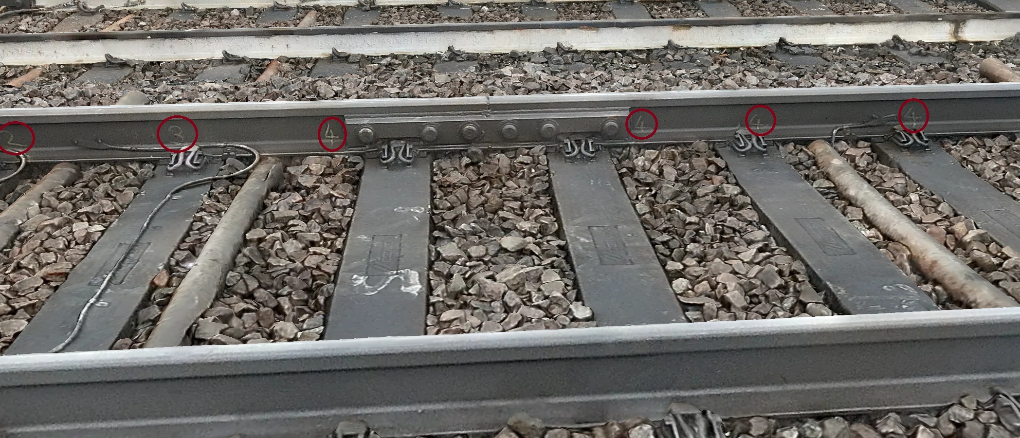
Every claim in the submission traces to something that was measured, flown or tested. That’s the difference between a safety case and a brochure.
HIAL strobe testing
A 60 fpm upward-facing strobe assessed through comparative visibility trials — conspicuity proven by observation, not specification sheet.
Thirteen demonstration flights
A documented flight programme over live infrastructure, each sortie evidencing a specific element of the containment and conspicuity argument.
Deceleration-within-SCV trials
Dedicated runs proving the aircraft decelerates and holds inside the standard containment volume at the geofence boundary.
AirSense trigger-distance
Trigger-distance confirmation from DJI for the onboard AirSense traffic awareness — the detection envelope quantified, not assumed.
Approvals enterprise asset owners co-author.
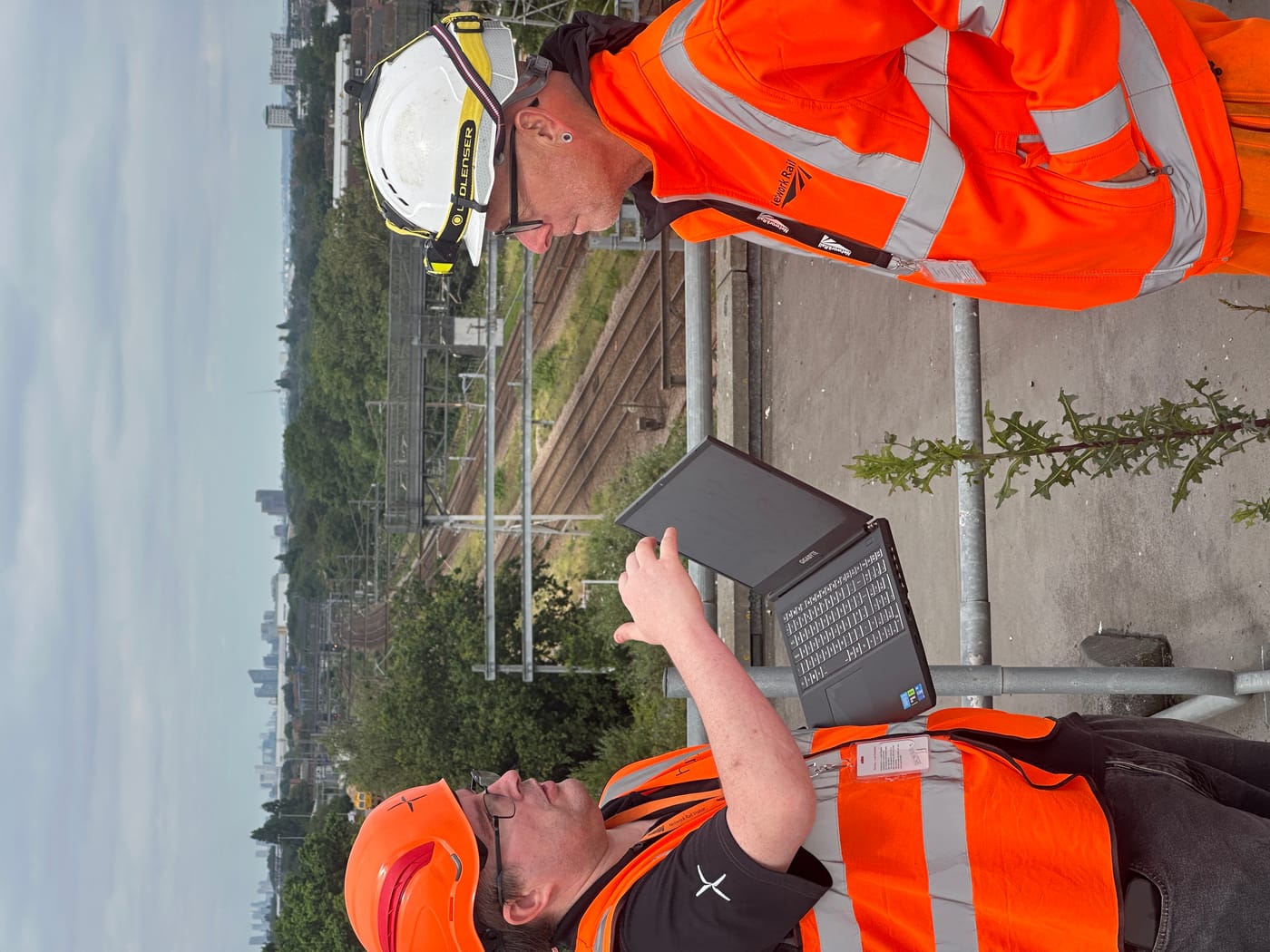
The hardest part of the air-risk case — the enhanced buffer in Option 5 — didn’t come from a textbook. It was derived from Network Rail’s own infrastructure safety requirements, folded into the methodology after CAA internal review.
Network Rail provided a supporting statement on operations over live track and the framework for minimum-height clearance. That’s not a vendor relationship — it’s an asset owner co-authoring the approval that lets its own infrastructure be inspected from the air.
For any infrastructure operator, that’s the model: the people who own the risk help shape the case that manages it.
How a site goes live.
Adding a site is a repeatable process, not a bespoke project. Once the first is running, each new location follows the same path — which is how the network scales to hundreds.
Survey
We assess the site, the missions you need flown and the airspace around it, then scope the operation.
Install
DJI Dock 3 sited, powered and connected; aircraft and payload commissioned on location.
Approve
The site’s BVLOS case is added under our operational authorisation — written and held by us.
Fly to schedule
Our BVLOS pilots operate the site from the ROCC on the cadence you set; data flows to your teams.
Per site. Priced to your schedule.
A hybrid model: a per-site service fee covers the dock, approval and standing readiness, and a usage element scales with how often you fly. Predictable, per-site, and it grows only as your network does.
The Managed BVLOS Buyer’s Guide.
What a fly-for-you site programme actually involves — what heliguy handles, what you provide, how sites operate under our authorisation, and how the per-site model is priced. For anyone weighing BVLOS as a service against building it in-house.
Scope your sites.
Tell us how many sites, where they are and what you need flown. We’ll come back with a per-site plan, an installation path, and how they’d run under our authorisation.
One partner, site to schedule.
Put your sites on the network
Tell us where your sites are and what you need flown. We install, approve, operate and maintain — flown by our BVLOS pilots under our authorisation, to a schedule you set.
Scope your sites →See what flies your sites
DJI Dock 3 and the Matrice 4TD, run through heliguy — the drone-in-a-box that carried this approval over live rail and now scales across the network.
Explore Dock 3 & M4TD →