Go anywhere. Capture everything.
SLAM-powered handheld scanners for rapid mobile mapping, survey-grade point clouds and photoreal 3DGS reality capture — indoors, outdoors and underground.
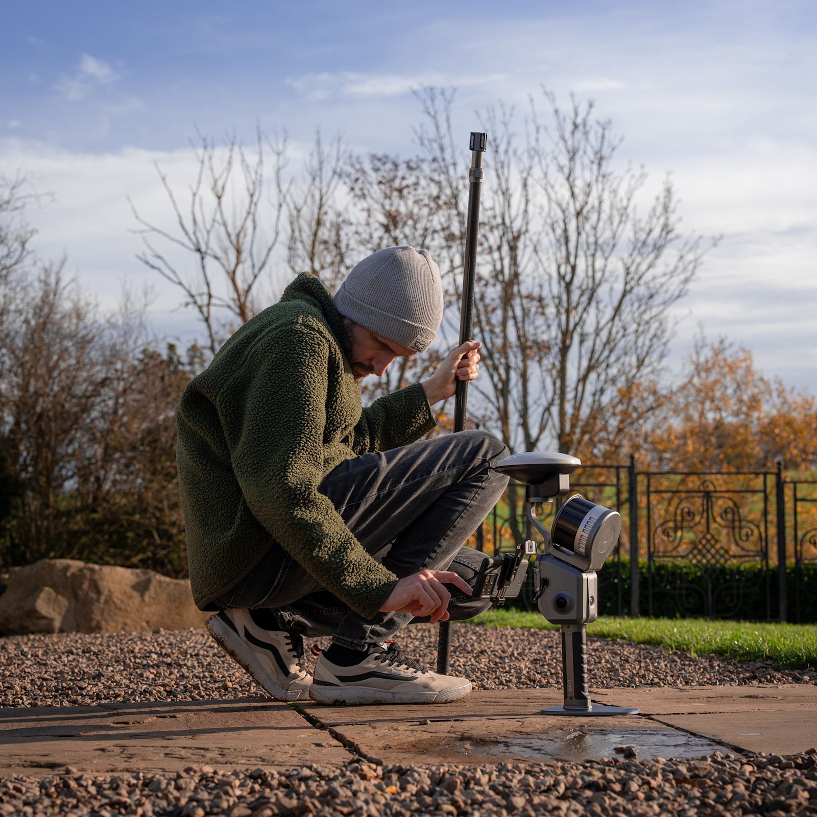 XGRIDS · Lixel L2 Pro
static methods
accuracy
anywhere
reality capture
One ecosystem, four ways in.
From the entry-level PortalCam to the flagship Lixel L2 Pro — pick by how you work, then talk to us to configure it. All XGRIDS, all supported end to end by heliguy.
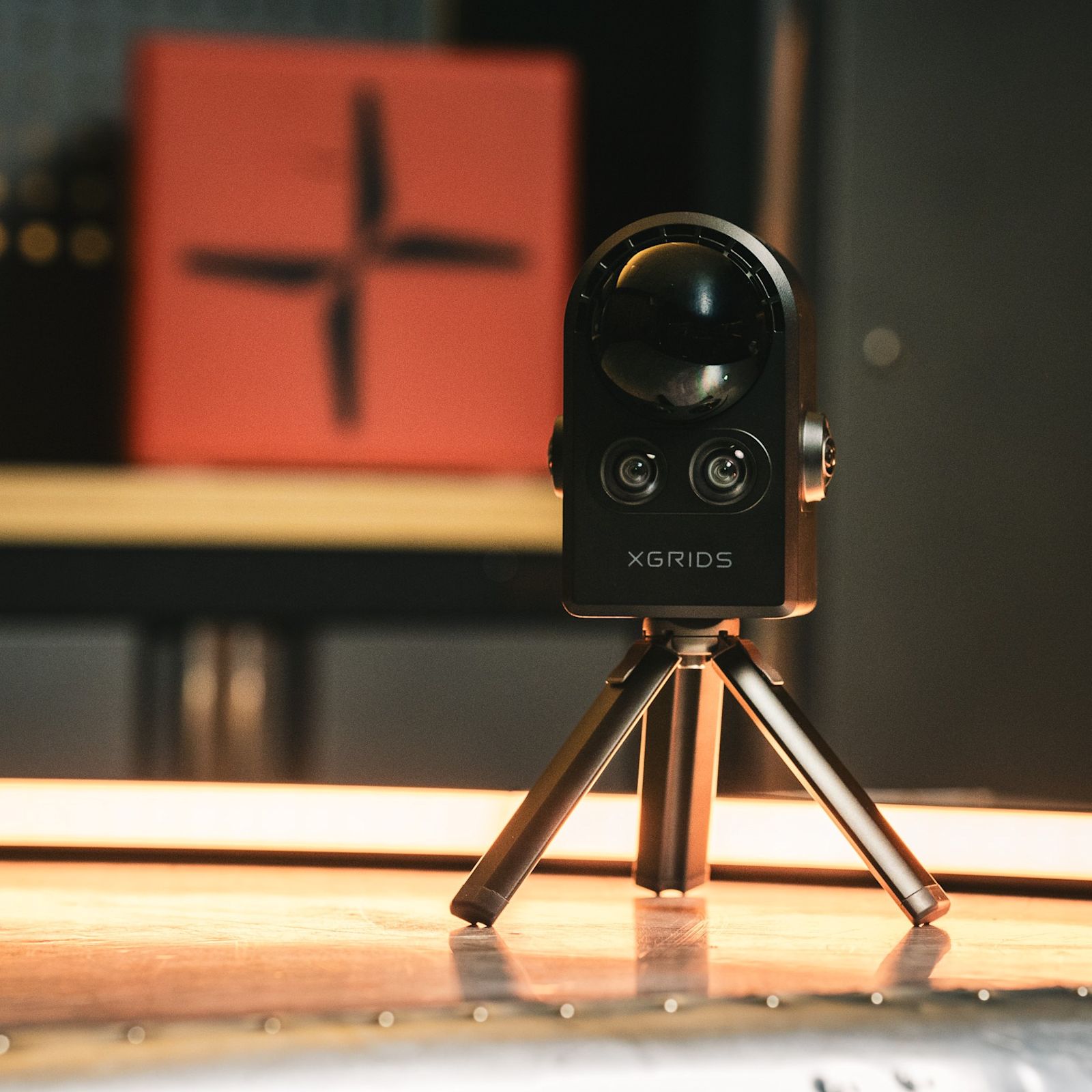
Photoreal capture, fast. Handheld 3DGS device with LiDAR and multi-cameras — photoreal models for virtual tours, film and more.
Straight to the right scanner.
The complete XGRIDS line-up — supplied, supported and processed in the UK. Scroll the range, then enquire for a configured quote.
XGRIDS PortalCam Standard Kit
Handheld 3DGS device with LiDAR and multi-cameras — photoreal models for virtual tours, film and more.
XGRIDS PortalCam Premium Kit
PortalCam with extra batteries and a 12-month LCC Studio Premium subscription.
XGRIDS Lixel K1
Compact handheld scanner — 200,000 pts/s, true-colour point clouds and Gaussian Splat capability.
XGRIDS Lixel K1 RTK Combo
The K1 with the RTK module added for precise, coordinate-referenced positioning.
XGRIDS Lixel K2
Lightweight, compact handheld scanner for true-colour point clouds and 3DGS reality-capture models.
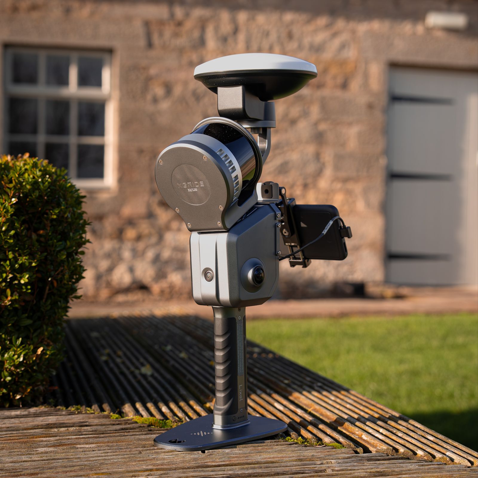
Lixel L2 Pro
Flagship SLAM scanner — real-time point clouds and 3DGS. 16 or 32-channel, and drone-mountable.
XGRIDS Lixel L2 (16 Channel)
120m range for precision surveys — can be drone-mounted to the DJI M300 Series.
XGRIDS Lixel L2 (32 Channel)
300m range for rapid, accurate on-the-go mapping — drone-mountable to the DJI M300 Series.
XGRIDS Aerial-Ground Fusion Bundle
Combine PortalCam and DJI Matrice 4E data into one comprehensive reality-capture dataset.
Every accessory, in one place.
Batteries, RTK modules, mounts, harnesses and poles — the complete XGRIDS accessory range, all supplied and supported by heliguy.
● 17 accessories & modules stocked


Precise 3D data collection, simplified.
Walk a site and capture it volumetrically — no tripods, no static setups, no waiting for a GPS lock.
Advanced mobile mapping
Survey complex environments with precise geospatial data using SLAM-powered mobile mapping — capture on the move.
Reality capture
Harness 3D Gaussian Splatting (3DGS) to capture real spaces as photorealistic, interactive 3D worlds.
Transform your applications
Elevate AEC, urban planning, film, real estate, geospatial and utility workflows with one capture method.
Immersive 3DGS environments.
Higher fidelity than point clouds — smooth lighting, depth and realism, instantly.
Compact files, easy to share — view in-browser, VR or mobile.
Drone, handheld, or both — XGRIDS fuses aerial and ground data into one model.

Map as you walk.
SLAM — Simultaneous Localisation and Mapping — obtains positional data while building the map at the same time.
Works indoors, underground and in dense environments where GNSS can’t reach.
Capture on the move — map an unknown environment as you walk through it.
Dramatically quicker than static, tripod-based alternatives — more site, less time.
Survey-grade, hand-held.
XGRIDS scanners deliver accuracy you can defend to a client — from the palm of your hand.
Quick answers.
Kit is the start. Support is the difference.
Talk to the geospatial team
Real surveyors who’ll match the right scanner to your sites and deliverables, then stay with you through setup, training and processing.
Book a discovery call →See the XGRIDS ecosystem
Scanners, PortalCam, software and the LCC Studio pipeline — the full end-to-end reality-capture workflow, in one place.
Browse the ecosystem →