Reality Capture / Powered by Gaussian Splatting
Recreate the world in stunning 3D.
3D Gaussian Splatting is the breakthrough behind a new generation of photoreal, real-time 3D. Capture any space — by drone, by handheld scanner, or both — and turn it into an immersive digital world you can walk through, drop into a game engine, or open in a browser. Hardware, software and UK data processing, all from heliguy.
Why splatting changes everything.
Photoreal, in real time
Millions of colour-rich points blended into cinematic visuals with smooth lighting, depth and realism — rendered instantly, no complex meshing.
Fast, simple workflow
Skip the heavy geometry processing. Far quicker turnaround with much less manual cleanup than traditional photogrammetry.
Lightweight & web-ready
Compact files that open in a browser, on mobile, or in VR. A whole scene streams in seconds — easy to share with anyone.
Massive scenes, seamlessly
Capture and render expansive environments — entire buildings, sites or streets — without sacrificing performance or quality.
Capture any way
Drone, handheld, or a hybrid of both. 3DGS adapts to interiors, exteriors, and complex mixed spaces that defeat other methods.
Don't take our word for it. Drag it around.
Real heliguy captures. This demo renders a representative splat model; in production the viewer streams the actual .splat / .ply / SPZ files — the same scenes shown in the gallery below.
See all captures→One technology. A dozen industries.
Gaming & Game Dev
Capture a real location and drop it straight into Unreal or Unity as a starting point for level design. Photoreal environments without an AAA asset pipeline — democratising high-end visuals for indie teams.
VFX & Film
High-res environments for set design, virtual production and photoreal location replication. On-set reference for compositing CGI accurately — saving time and cost while raising realism.
VR / XR
Hyper-realistic virtual spaces for training, walkthroughs and immersive experiences. Splats render at headset framerates and stream over the web — no game-engine install required.
Sports & Live Events
Emerging 4D splatting captures motion over time — opening up dynamic replays, immersive venue tours and broadcast-grade volumetric capture for stadiums and arenas.
Real Estate
Immersive 3D models of properties and venues for virtual walkthroughs and remote viewings. Streamline marketing and help clients visualise spaces without setting foot inside.
Critical Infrastructure
Digitally replicate complex assets for remote inspection, condition monitoring and maintenance planning. Cut site visits, improve safety, and feed digital twins for smarter lifecycle management.
AEC
Architecture, engineering & construction: capture accurate site data for design validation, progress tracking and stakeholder alignment. Reduce rework and support BIM workflows via Revit export.
Digital Twins & Smart Cities
Living, navigable replicas of buildings, campuses and city blocks. Splats sit alongside mesh and point-cloud data in OpenUSD pipelines, feeding planning, operations and simulation.
Public Safety
Accurate 3D reconstructions of incident and crime scenes for planning, investigation and communication — preserving critical evidence and giving real-time situational awareness.
Defence
Rapidly model terrain and mission zones for tactical planning, training and recon. Deliver up-to-date, high-fidelity intelligence to improve safety and situational awareness.
Conservation & Tourism
Turn landmarks and fragile cultural sites into immersive virtual experiences and lasting 3D archives — boosting accessibility and preserving heritage that can't be repeatedly laser-scanned.
Education
Virtual campus tours and open days that increase accessibility and help prospective students decide — bringing an institution to life for anyone, anywhere in the world.
From real space to shareable world.
Built on the best reality-capture hardware.
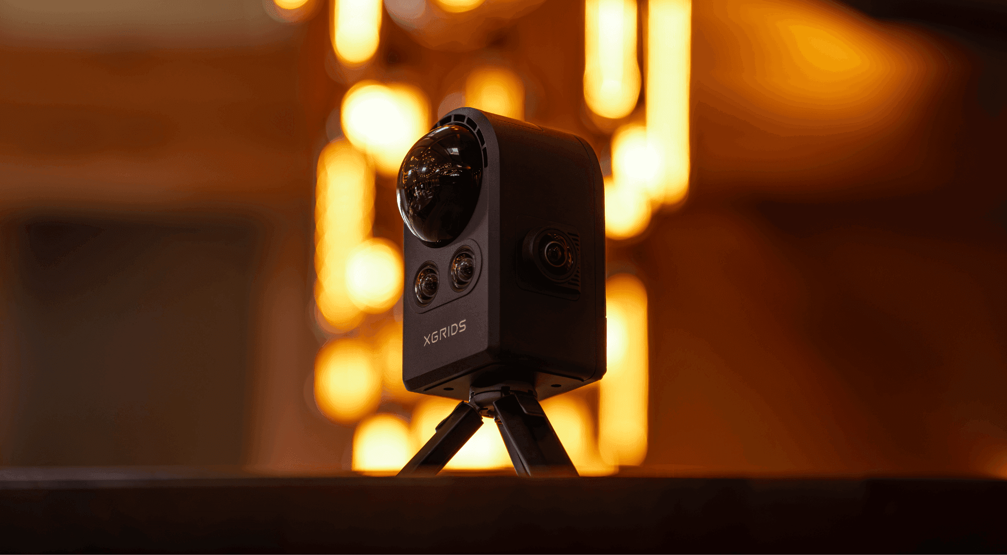
XGRIDS PortalCam
The world's first true spatial camera, built purely for 3DGS. LiDAR + multi-camera capture geared to visual fidelity — turn real spaces into interactive, photoreal worlds. Exports to Unreal, Unity and the web via SDK.
Explore PortalCam→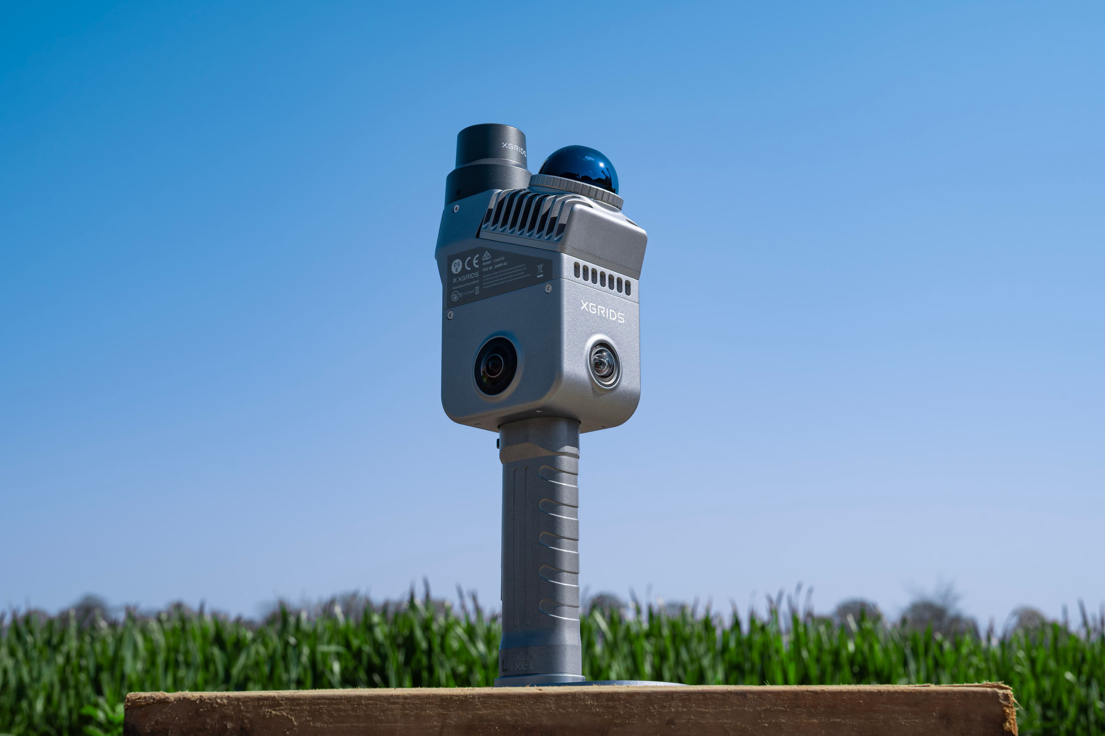
XGRIDS Lixel L2 Pro & K2
Portable scanners combining SLAM, LiDAR and panoramic RGB for real-time true-colour point clouds — so every splat is grounded in spatially accurate data. K1 for compact precision; L2 Pro flagship (also drone-mountable).
Compare scanners→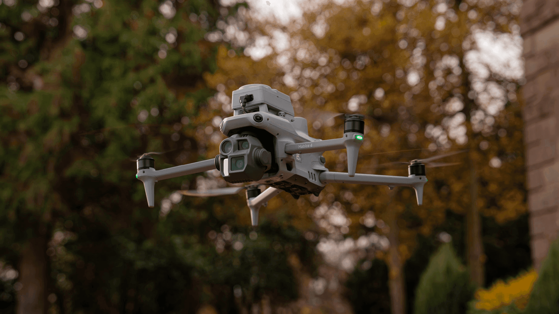
DJI enterprise drones
Reach inaccessible environments from the air. Automate flight paths for hands-free splatting with Smart 3D Capture, or pair aerial data with handheld scans for seamless, full-coverage models.
Explore drones→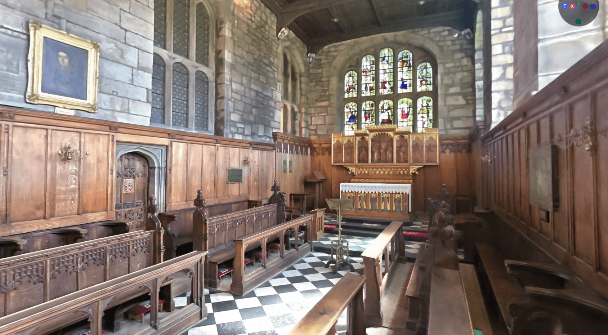
XGRIDS Lixel CyberColor
Fuse indoor, outdoor and aerial datasets into unified high-res models. AI object removal, annotations, and export to Unity, Unreal and Autodesk Revit for BIM workflows.
About CyberColor→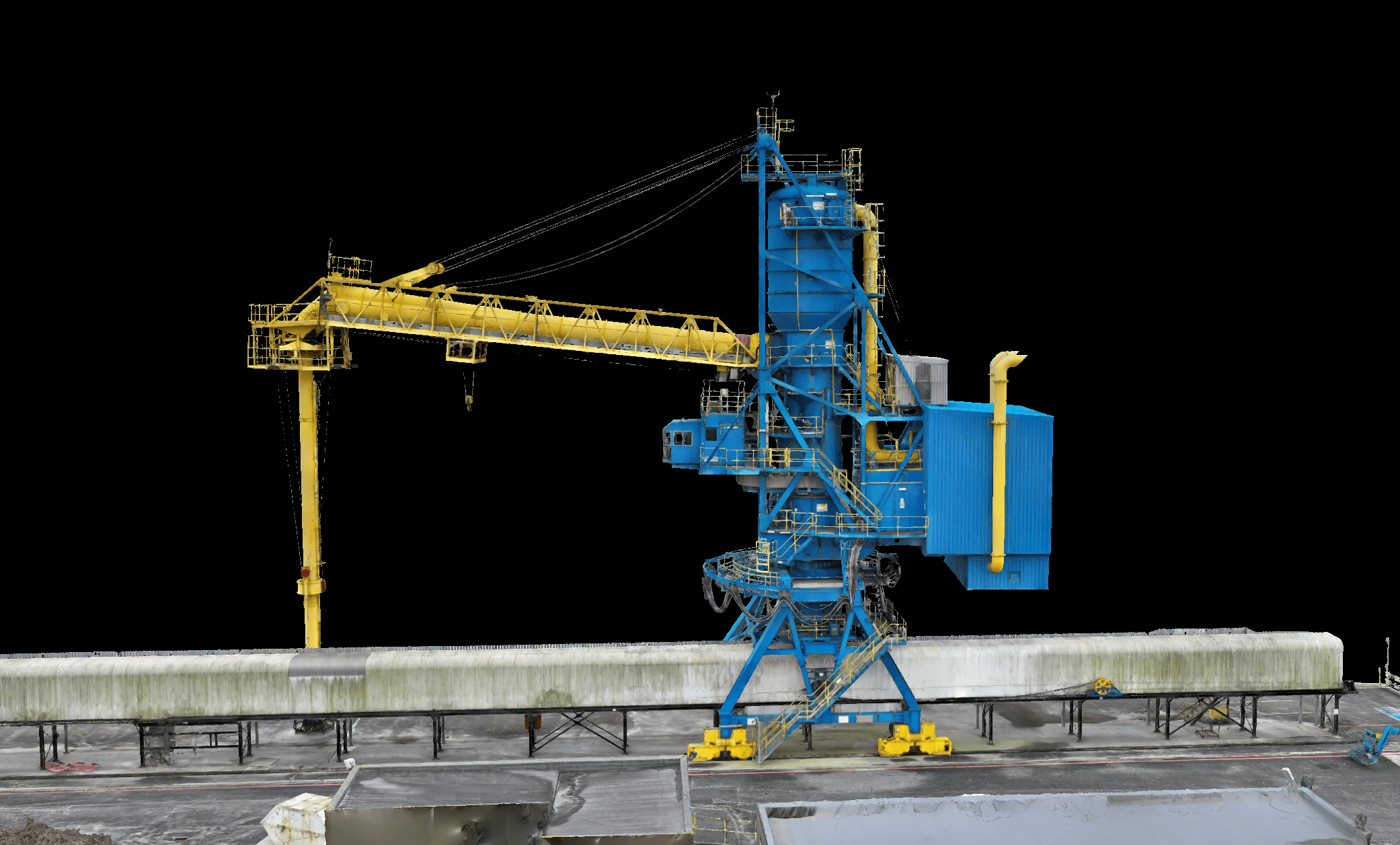
DJI Terra
Now supports Gaussian Splatting — fast, photoreal 3D renderings straight from drone data. Export to 3DGS-ready PLY and B3DM and integrate into surveying, gaming or VFX pipelines.
About DJI Terra→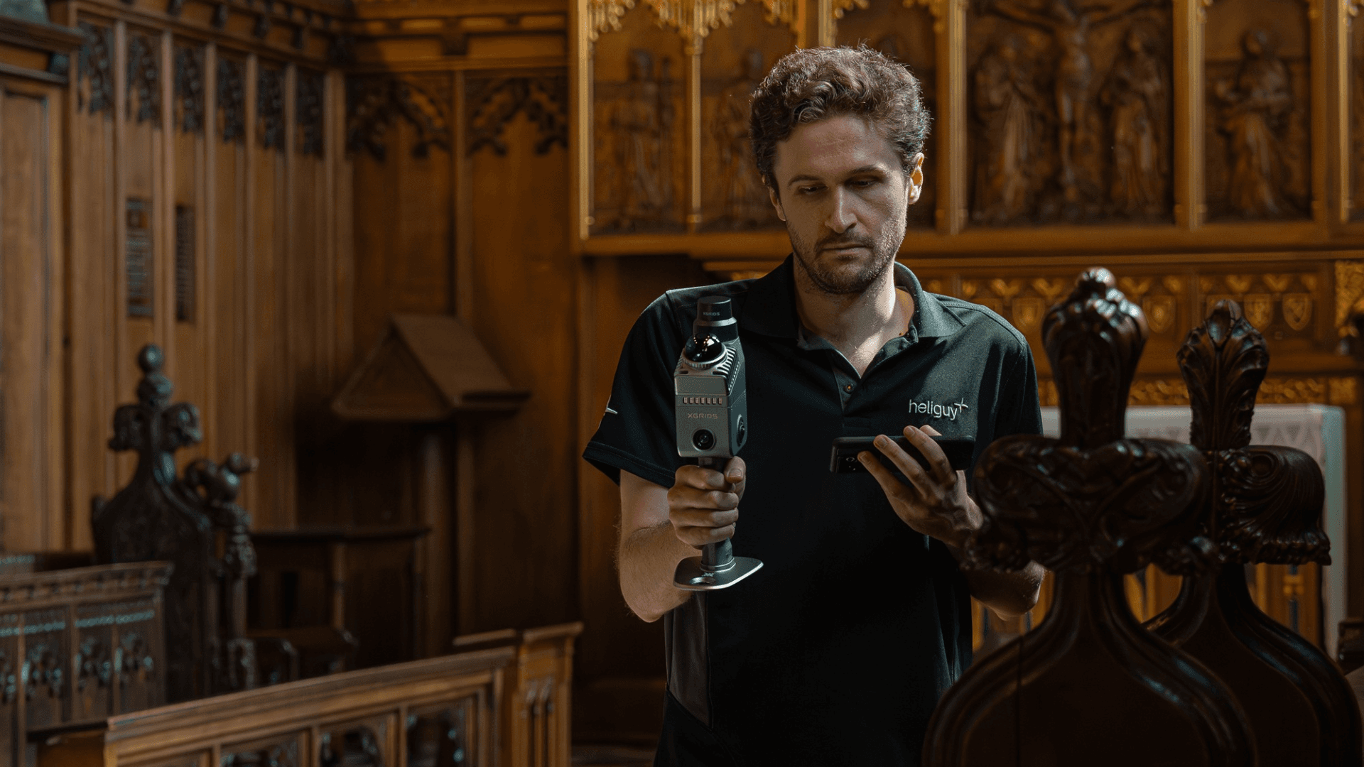
Trial the whole stack
Reality-capture kit is a serious investment. Try it first with a heliguy demo or hire it from our rental fleet — capture a real project before you commit.
Book a demo or rental→You scan the world. We bring it to life.
Gaussian Splatting is GPU-intensive — desktop workflows choke on large scenes. Our in-house surveying team runs a high-performance platform built for the heavy lifting, turning your scans into stunning, shareable 3D datasets quickly and reliably.
Real captures. Real places.
Your reality-capture partner.
End-to-end 3DGS
A one-stop shop — DJI drone hardware, XGRIDS scanners, software and data processing, all under one roof. Nothing falls between suppliers.
Hardware trials & demos
Scanning kit is a big investment. Take the risk out with a client demo, or try before you buy from our rental fleet.
UK data processing
Full in-house processing on a high-performance platform — none of the performance issues of desktop workflows, all UK-hosted.
Dedicated survey department
Hardware and software support underpinned by our in-house geospatial team — advice, consultancy, training and workflow assistance.
Wider infrastructure
35+ staff offering integrated support: pilot training, in-house repairs, and global logistics. The whole programme, not just a box.
Proven in the field
From rail infrastructure to heritage landmarks — real captures, real clients, processed and delivered by our team.
3DGS, answered.
01What's the difference between this and the survey service?
Our Survey work is about measurement — accurate, georeferenced data answering “where is it and how big”. Reality capture with 3DGS is about photoreal recreation — building immersive, true-to-life 3D worlds you can explore, publish to the web, or drop into a game engine.
Same underlying kit in many cases, very different output and purpose. Plenty of projects use both.
02How is 3DGS different from a point cloud or a mesh?
A point cloud is millions of discrete points; a mesh is a solid surface that needs heavy processing and cleanup. Gaussian Splatting represents a scene as millions of soft, colour-rich 3D blobs that blend into a photoreal image — higher visual fidelity than either, rendered in real time, with a far simpler workflow.
03Can I use a splat in Unreal or Unity?
Yes. Splats export to formats that load into Unreal Engine and Unity (via plugins and SDKs), into Autodesk Revit for BIM, and to web and VR viewers. The Khronos glTF standard is adding native splat support, so engine and browser compatibility is only improving.
04Do I need a drone, or can I capture by hand?
Either — or both. Handheld scanners (XGRIDS L2 Pro, K1, PortalCam) are ideal for interiors and walkable spaces; drones reach roofs, façades and inaccessible areas. The most complete models fuse handheld and aerial passes into one capture.
05I don't have a powerful workstation — can you process for me?
Yes. 3DGS training is GPU-intensive and our UK-based processing service takes that load off your hands. Send us the raw capture; we return web-ready, shareable models — processed and hosted with full UK data compliance.
06Can I try the kit before buying?
Absolutely. We offer demos and trials, and you can hire the full stack from our rental fleet to run a real project before committing. Our survey team will help you scope the right setup.
Ready to capture reality?
Let's build your reality-capture programme.
Whether you're scanning one landmark or standing up reality capture across a whole organisation — talk to us about hardware, software, processing and support. We'll build the solution together.