Survey & Geospatial / heliguy Survey Assist
We don't fly your survey. We build your capability.
Drones, scanners, GNSS and the in-house geospatial team to make them work. Consultancy, equipment, training and on-site setup — so your people capture survey-grade data, process it, and own the workflow end to end.
Most providers fly the job and hand you a file. We do the opposite — we equip and train your team so the capability stays in-house.
For larger organisations we'll go further: our specialists come on-site, stand up your entire survey and data pipeline, then hand it over for you to run.
Three ways to capture the world.
Drone Surveying & Mapping
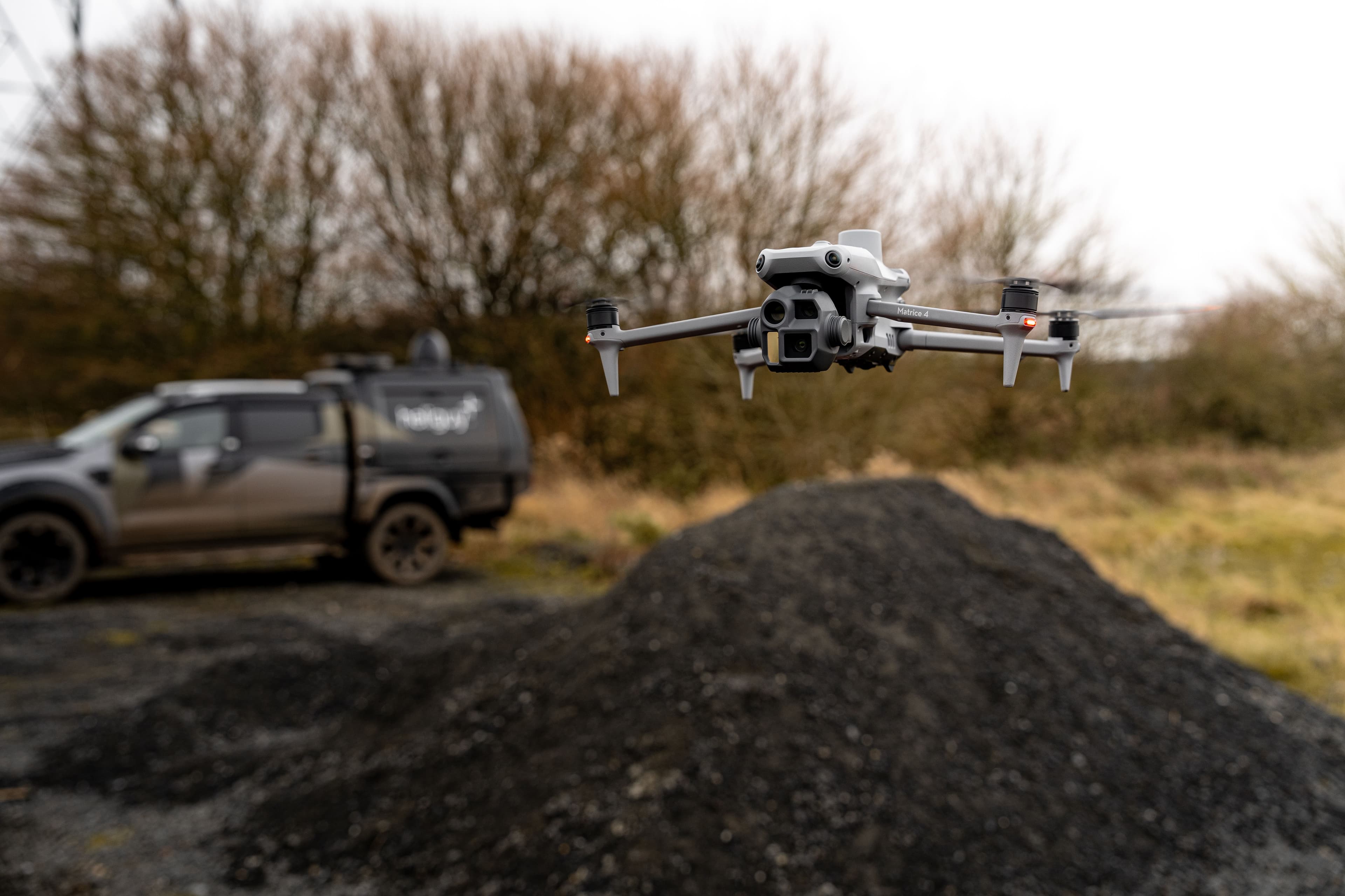
DJI enterprise drones with photogrammetry and LiDAR payloads. Capture efficient aerial mapping data over large or hard-to-reach sites for accurate 2D maps and 3D models.

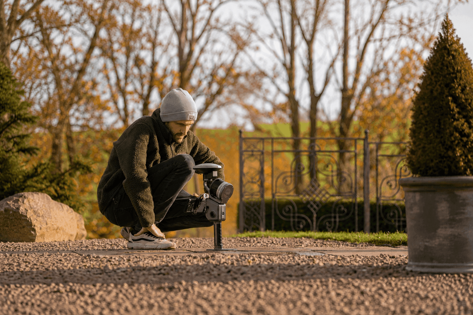
XGRIDS Scanners & PortalCam
Handheld SLAM laser scanners and PortalCam for high-fidelity 3DGS reality capture — indoor, outdoor and underground. Walk a site, capture it volumetrically, produce photoreal models in hours.
GNSS Positioning
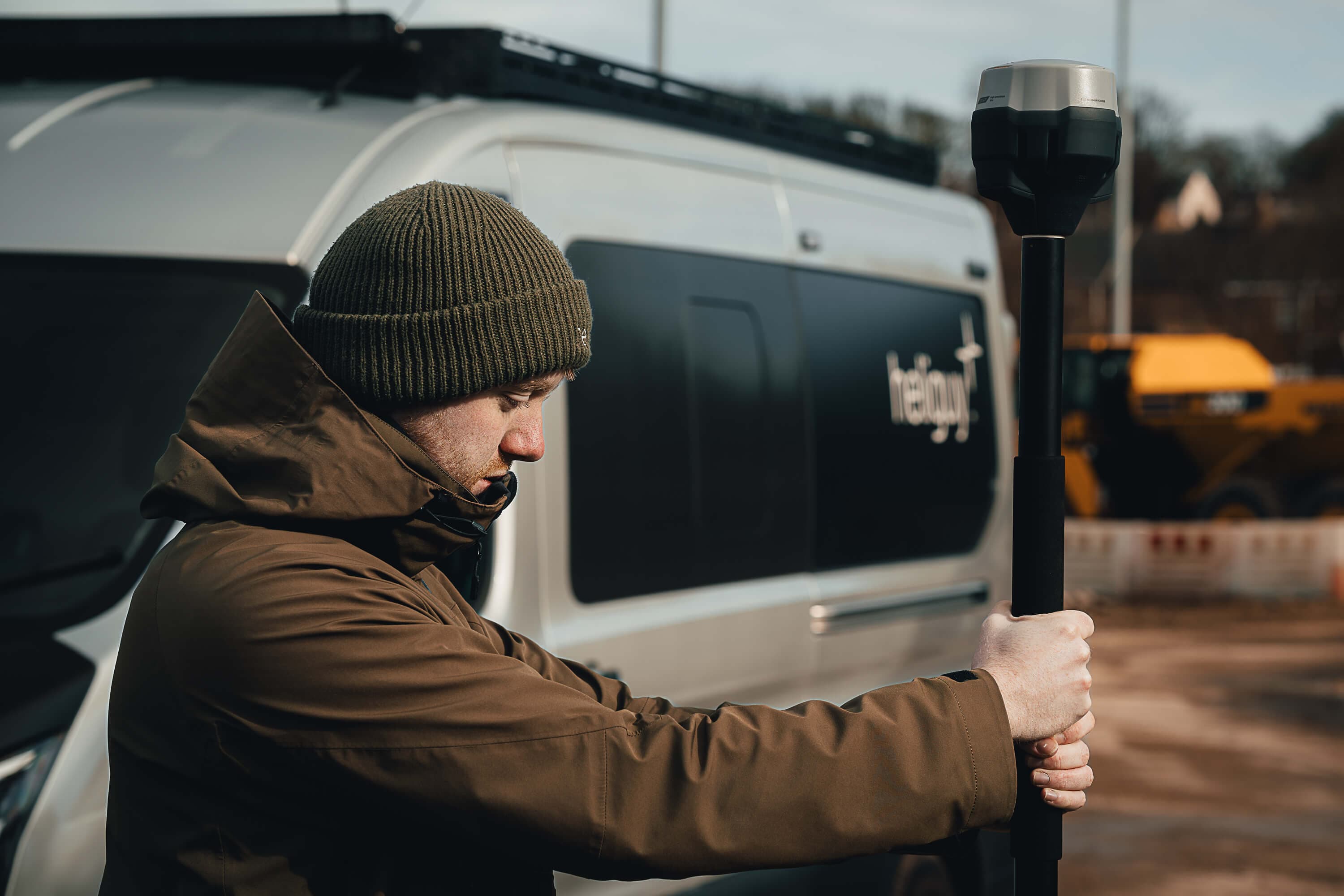
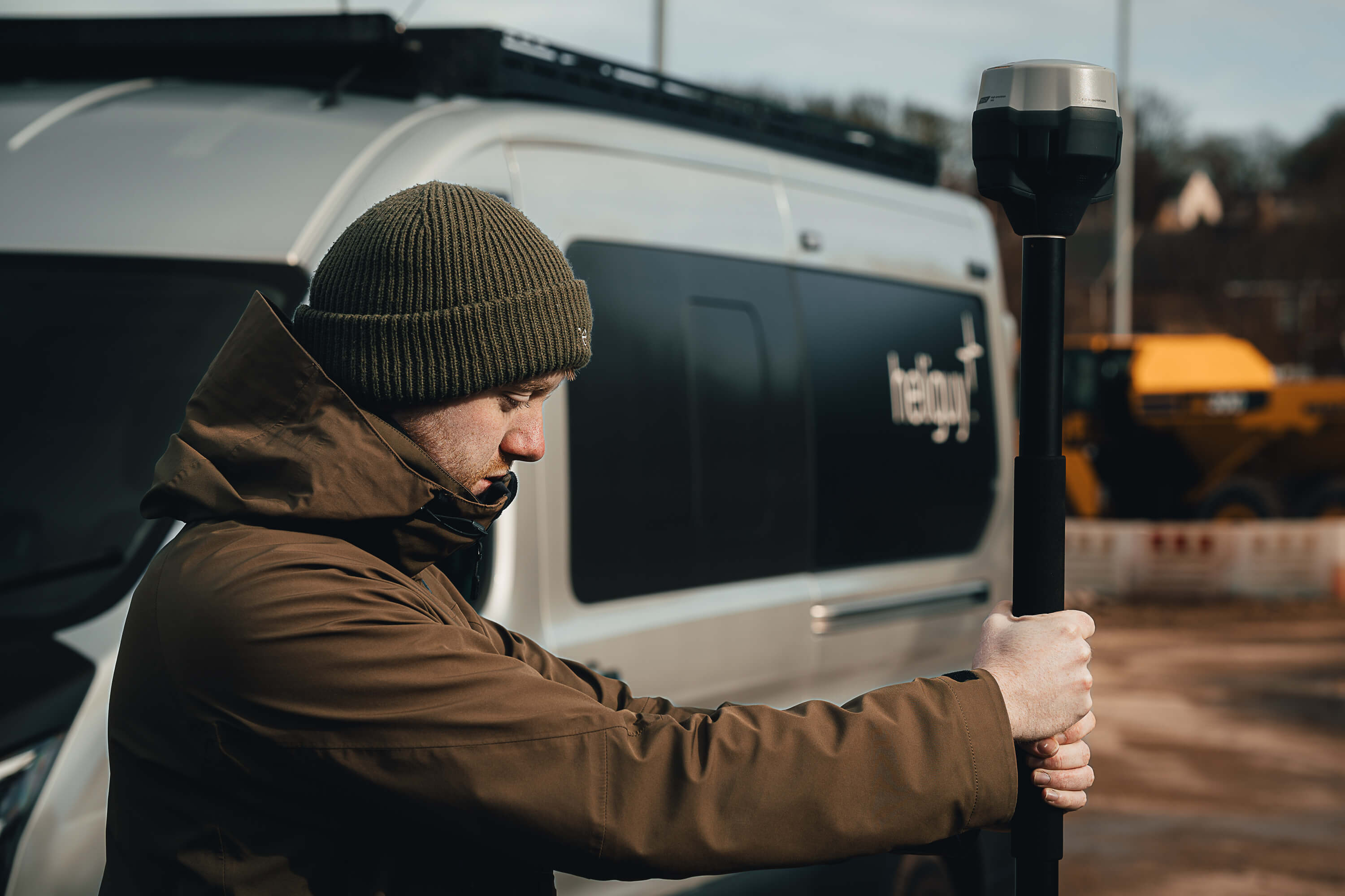
Industry-leading GNSS receivers from Emlid and DJI for precise, repeatable positioning. Ground control, RTK base-and-rover, and check-point workflows that anchor your survey to real-world coordinates.
The output, not just the kit.
3D Gaussian Splatting — photoreal, volumetric reality capture from XGRIDS scanners. This demo renders a representative model; production embeds your real .splat, point cloud, mesh or ArcGIS scene.
Discuss a reality-capture project→See the output before you commit

3DGS splat
Industrial interior · Newcastle · XGRIDS Lixel K2
- Coverage
- 4,200 m²
- Capture time
- 22 min
- Gaussians
- 8.4M

LiDAR point cloud
Substation survey · County Durham · DJI Zenmuse L2
- Density
- 1,200 pts/m²
- RMSE (Z)
- 2.1 cm
- Area
- 6.8 ha
RTK accuracy report
Ground-control network · coastal · Emlid Reach RS3
- Horizontal
- 8 mm + 1 ppm
- Vertical
- 15 mm + 1 ppm
- GCPs
- 12
Representative of a wider library — tell us your sector and we’ll share the closest real-world capture.
End-to-end, then it's yours.
Scope the workflow.
We assess your sites, deliverables and accuracy needs, then design the right capture-to-deliverable workflow around them.
Specify the kit.
Drones, payloads, scanners, GNSS and software — matched to the job, not the catalogue. No overspend on capability you won't use.
Build the skills.
Industry-specific training across photogrammetry, LiDAR and multispectral — flight planning, capture, processing, deliverables.
On-site, in the field.
For larger teams we come to you, stand up the whole survey and data pipeline on real sites, and hand it over running.
For the long run.
Lifetime support as your survey ecosystem evolves — new kit, new software, new licences, new anomalies to troubleshoot.
For large organisations: we stand it all up.
Your entire survey pipeline, configured on real sites.
For enterprise and public-sector teams adopting drone survey at scale, our specialists deploy to your sites and build the whole thing with you — capture, control, processing, deliverables — then hand it over for your team to run independently.
 Photo · specialist + client on-site
“They didn't just sell us drones — they came out, set the whole survey up on our sites, and made sure our team could run it.”
— Enterprise infrastructure client
Set up the software. Process the data.
Capturing the data is half the job. We help you stand up the processing side too — choosing and configuring the right platforms, setting up licences, building repeatable processing recipes, and doing in-house data processing when you need an extra pair of hands.
Whether you're on DJI Terra, the Esri/ArcGIS stack, NIRA for cloud collaboration, or specialist LiDAR tools — we work across the licences you already run, and integrate them into one workflow.
Real surveyors. On the end of the phone.
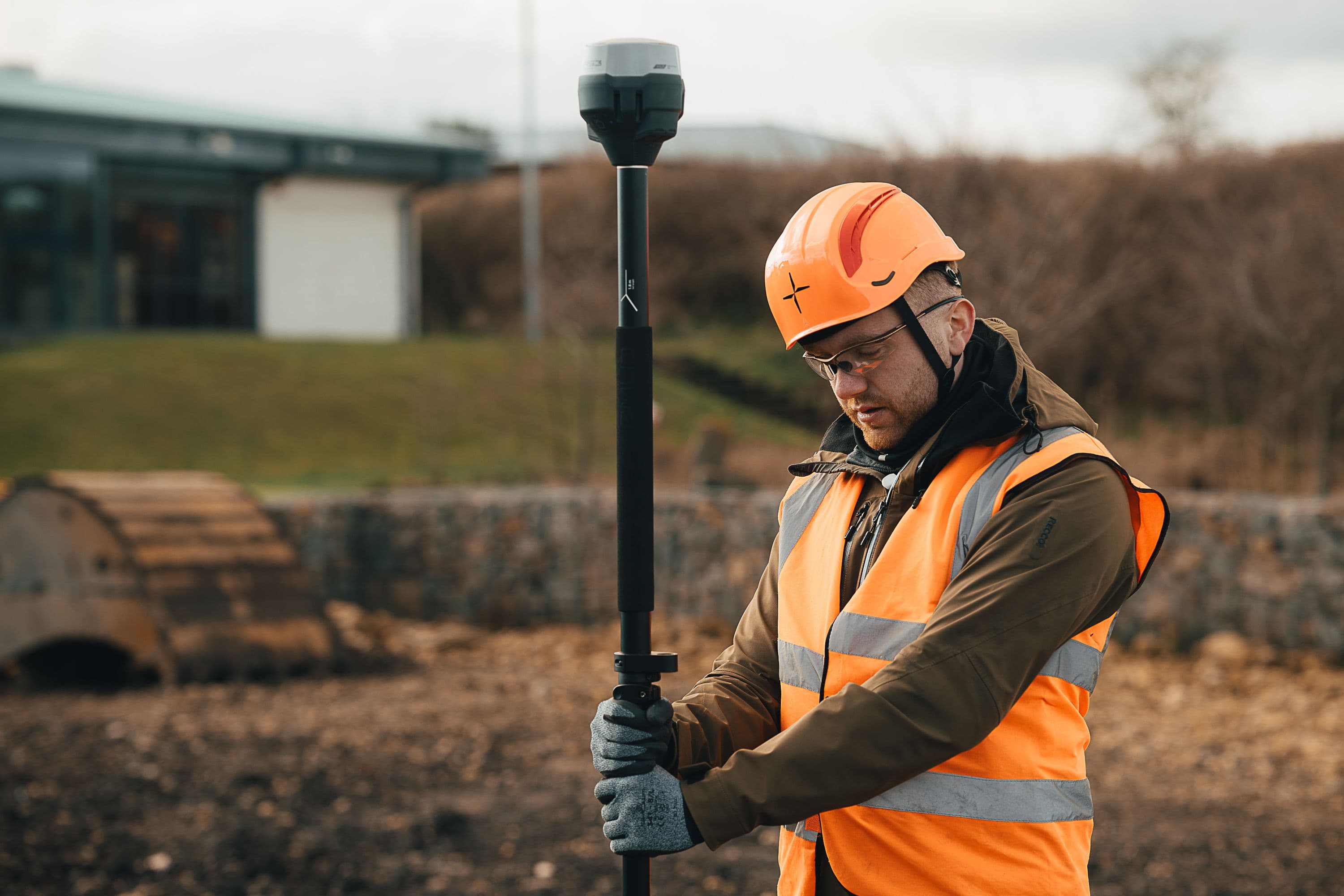
Richard
Delivers survey training and consultancy and helps clients collect real-world data to accelerate drone adoption. Developed online training courses and was a guest speaker at Digital Construction Week.
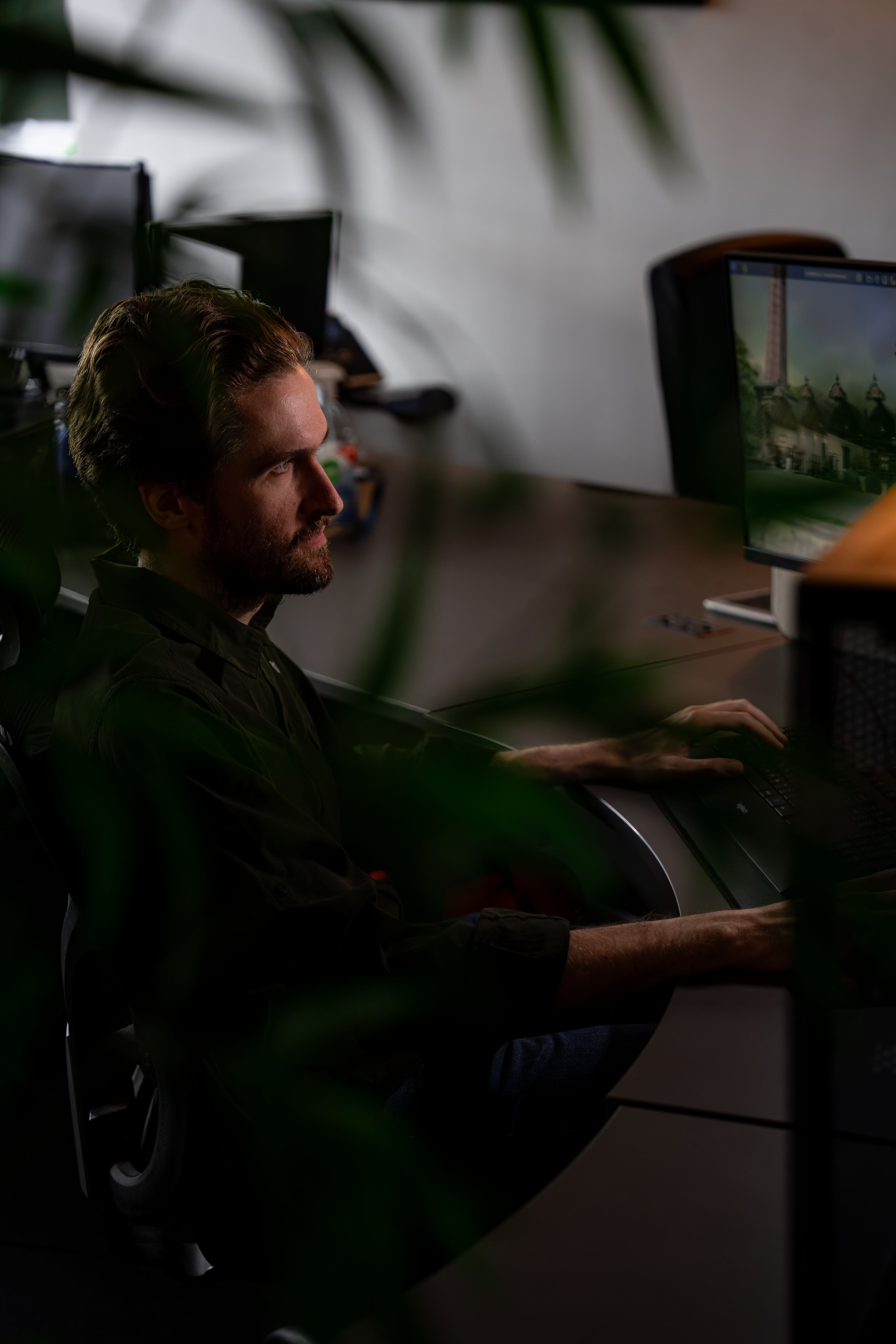
Alex
Provides technical support on LiDAR and photogrammetry, plus guidance on GNSS principles and modelling software. Previously worked in infrastructure planning.
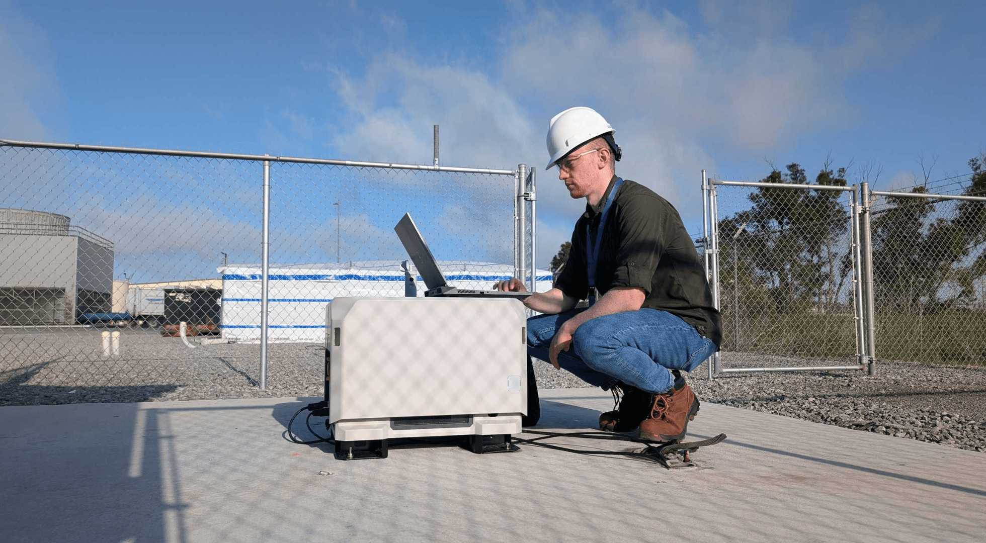
Brandon
Brandon spent more than two years as a Training Member and played an active role in the BVLOS Dock Deployment Team. He has a strong interest in geospatial intelligence, remote sensing technologies, and their real-world applications.
What survey teams tell us
Placeholder — to be replaced with real, attributed testimonials (name, role, company and a specific result) via the CMS. No review markup is published until then.
A specific, attributed outcome will appear here — e.g. the workflow, the kit and the measurable result heliguy helped deliver.
A specific, attributed outcome will appear here — e.g. the workflow, the kit and the measurable result heliguy helped deliver.
A specific, attributed outcome will appear here — e.g. the workflow, the kit and the measurable result heliguy helped deliver.
Surveying is not inspection.
Where something is.
Creating an accurate, georeferenced representation of a site — stitched into 2D maps or 3D models. The output anchors decisions, spots mistakes, and keeps projects on track.
What condition it's in.
Individual images used to understand the condition of an asset and find defects before they grow — often RGB and thermal, increasingly with AI defect detection. A dedicated kit ecosystem, not survey drones.
Partners and the people we've equipped.
Quick answers.
01Do you offer drone surveying as a service?
No — we don't fly surveys for hire. Our in-house team equips and trains you to introduce drones into your own operations and run survey-grade workflows yourself.
The one exception is our in-field setup for larger organisations: our specialists will come to your sites, stand up your entire survey and data pipeline, capture and process the first datasets with you, and hand it over for your team to run. We build the capability — you keep it.
02How can heliguy support my surveying operations?
End-to-end. A dedicated department of experienced surveyors provides consultancy and product supply, industry-specific training, on-site setup through the Drone Assistive Programme, technology handovers, data-processing support across multiple software platforms, and lifetime support as your ecosystem evolves.
03What software do you help with — and can you process our data?
We work across DJI Terra, Esri/ArcGIS, NIRA, Terrasolid and the XGRIDS suite, among others. We help with licensing and setup, build repeatable processing workflows, integrate capture-to-deliverable pipelines, and troubleshoot anomalies.
And yes — we offer in-house data processing. Send us the raw capture and we'll return finished maps, models and reports, or work alongside your team on your own licences.
04What is 3DGS reality capture, and why does it matter?
3D Gaussian Splatting (3DGS) is an emerging reality-capture technique that produces photoreal, volumetric models — far richer than a traditional mesh. Paired with handheld scanners like the XGRIDS K1 and PortalCam, you can walk a site (indoor, outdoor or underground) and produce a navigable, photographic 3D model in hours.
It's one of the most powerful new capabilities in the geospatial sector, and we can equip and train you to use it.
05What's the difference between mapping and inspection drones?
Mapping creates an accurate representation of where something is — georeferenced data stitched into 2D maps or 3D models, usually via photogrammetry or LiDAR. Inspection is about condition — individual RGB or thermal images used to find defects. Different jobs, different kit. We can advise on both.
06Do I need to be a qualified surveyor to operate a survey-grade drone?
No — but the data is only as good as the workflow behind it. You'll need the right CAA permissions to fly commercially, and you'll get far better, more defensible results with proper training in capture and processing. That's exactly what our team is set up to provide.
07Why use a drone for surveying at all?
Safe, efficient, accurate data collection — faster than ground-based methods and without putting people in hazardous positions. The processed data drives decision-making, spots mistakes early, keeps projects on track, and gives stakeholders a shared, accurate picture of a site.
Extreme situational awareness
From a single scan to a permanent, self-updating picture of your site — heliguy stands up the capture, the pipeline and the people behind it.
- 1DeployDrone-in-a-box or crewed capture, on your sites — scheduled or on demand.
- 2Capture everythingVisual, thermal, LiDAR and RTK-referenced ground control in one pass.
- 3Build the twinPhotoreal 3DGS + point clouds fused into a measurable digital twin.
- 4Total awarenessOne live picture of the site — for planning, inspection and response.
Claims you can check
heliguy has supported UK drone operations since 2008, training thousands of commercial pilots.
Verified · heliguy company recordsheliguy is a CAA-approved training provider for the GVC and A2 Certificate of Competency.
Verified · Civil Aviation Authorityheliguy is a DJI Enterprise dealer and an authorised UK repair centre.
Verified · DJIHandheld SLAM capture covers roughly 4,200 m² of interior in about 22 minutes.
Representative · Field capture · representativeRTK ground control achieves 8 mm + 1 ppm horizontal / 15 mm + 1 ppm vertical accuracy.
Representative · Emlid published specification
Representative figures are being confirmed against their source documents before publication.
Find your route in to survey
Let's scope your survey workflow.
Tell us about your sites, your deliverables and the accuracy you need. Our geospatial team will design the right mix of kit, training and setup — and stay with you as it scales.