Rent Survey equipment
Hire survey equipment — RTK base stations, GNSS rovers and ground-control kit.

Rental XGRIDS PortalCam Kit
Rent the XGRIDS PortalCam, a handheld 3DGS device with LiDAR and multi-cameras, to create photorealistic models for virtual tours, film projects, and more. This rental package includes a Lixel CyberColor Premium licence.

Rental XGRIDS L2 Pro (32 Channel 120m)
Rent the XGRIDS Lixel L2 Pro - a handheld SLAM-based 3D laser scanner for real-time point cloud generation and Gaussian Splatting for reality capture.

Rental XGRIDS Lixel K1
The XGRIDS Lixel K1 is a compact handheld scanner for professional-level 3D reality capture and modelling. Scan 200,000 points/s and generate true-colour point clouds.

Rental XGRIDS Lixel K1 RTK Module
Rent this module for precise RTK positioning and accurate data collection in a coordinate reference system.

Rental Emlid Reach RS3 & Survey Pole
Rent the Emlid Reach RS3 - a multi-band GNSS receiver featuring tilt compensation and enabling centimetre-accurate data collection. This rental package includes the Emlid survey pole.

Rental DJI D-RTK 3 Combo
This rental combo includes the DJI D-RTK 3 multifunctional station and the survey pole and tripod kit. Deploy the D-RTK 3 for cm-level positioning.

Rental D-RTK 2 Base Station
The DJI D-RTK 2 Mobile Station is a high-precision GNSS receiver, supporting all major global satellite navigation systems for real-time differential corrections.

Rental Emlid Reach RS2
The Emlid Reach RS2 is a multi-band GNSS receiver which allows you to collect data with centimetre accuracy and can obtain a fix in seconds.

Rental Emlid RX with Survey Pole
Rent the Emlid RX - a Network RTK rover featuring quick setup, Bluetooth connectivity, and centimetre accuracy. This rental package includes a survey pole.

Rental GeoSLAM ZEB Horizon
The GeoSLAM ZEB Horizon is a high-accuracy handheld scanner for on-the-go mobile mapping. It has a 100m scan range and captures 300,000 points per second.
Survey equipment — hire from heliguy
Survey-grade RTK and GNSS rentals — pair with aerial LiDAR or photogrammetry payloads.
Survey-equipment rentals complete the data pipeline: RTK base stations for site-local centimetre accuracy, GNSS rovers for ground control, ground-control panels for over-flight referencing.
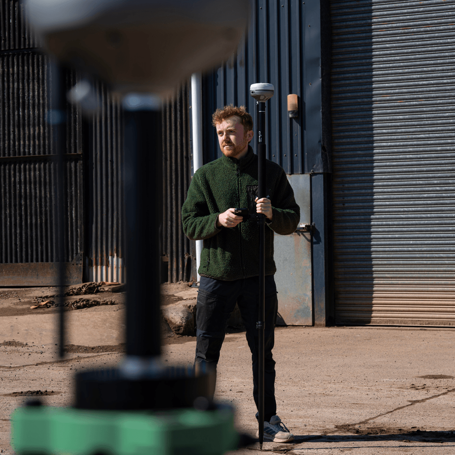
Survey-grade kit on demand
Same UK workshop, calibrated between hires.
No setup fees
Quote, ship, fly — no hidden onboarding charges or contract minimums.
UK next-day dispatch
Order by 3 pm for next-day delivery across mainland UK.
Flexible terms
Day, week and project-length rentals; rolling extensions when missions overrun.
In-house servicing
Every aircraft goes through our DJI-authorised workshop between hires.
Need to hire the survey equipment?
Talk to a heliguy rental specialist about survey equipment availability, project-length terms and payload pairing.