Production has ended, but this platform is fully supported at heliguy — spares, rental, DJI-authorised service and training. Looking to buy new? See the DJI Zenmuse L2 below.
50-day return policy⌄
- Return within 50 days of purchase.
- Full refund for unopened, sealed, unactivated items.
- Opened products may still qualify if unused.
- For orders over £100, we can arrange your return via DPD or in-person drop-off.
Next-day delivery — order before 3pm⌄
- Order before 3pm Mon–Fri for next-working-day delivery (free over £99).
- UK Saturday delivery available on orders placed before 3pm Friday.
- After 3pm Friday — dispatched Monday.
- Some UK regions may need 2–3 working days.
Discounted options with main purchase⌄
- Bundle pricing on accessories, spares and training when bought together.
- Reduced rates on add-ons selected at checkout.
- Ask us for a tailored quote on multi-unit or fleet orders.
Still supported here
Succeeded by DJI Zenmuse L2
Product dossier
LiDAR and RGB Data collection
One Payload, Two Cameras
- Comprehensive Imaging System:
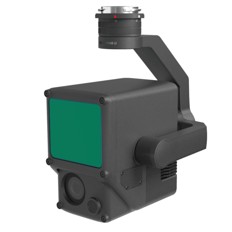
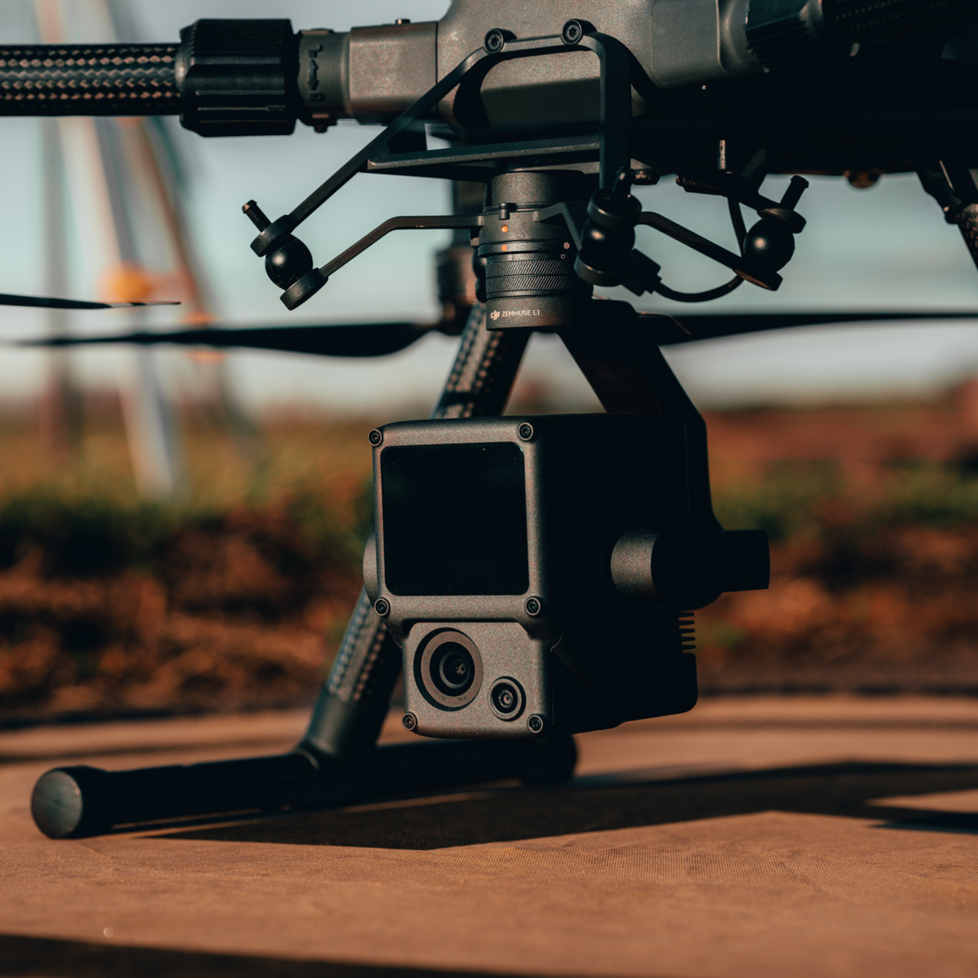
The Zenmuse L1 Combines the Livox LiDAR Module's high-precision point cloud capabilities with a 20MP RGB camera, providing detailed and accurate spatial data with effective detection, deep penetration, and high-quality imagery.
- Livox LiDAR Module:
Delivers up to 100% effective point cloud results with a 450m detection range and 240,000 points per second effective point cloud rate. Supports 3 returns and features both repetitive and non-repetitive scan modes for enhanced accuracy and deeper penetration.
- RGB Camera:
Equipped with a 20MP 1-inch sensor and a mechanical shutter for high-quality imaging and reduced motion blur.
Full specifications
Frequently asked questions
What is the protection level of the Zenmuse L1?⌄
The L1 has an IP54 rating according to the IEC60529 standard. This means that it is protected against solid objects over 1mm in size and against water splashed from all directions.
The protection level is not permanent however and will decrease over time due to device wear.
To ensure the highest levels of protection:
• Before installing, make sure that the interface and surface of the gimbal are dry.
• Before use, make sure that the gimbal is firmly installed on the drone and the SD card protective cap is clean, free of foreign objects, and closed.
• Before opening the SD card protective cap, wipe the surface of the drone clean.
Does the L1 require an SD card?⌄
Yes, the L1 requires a MicroSD card with Class 10 or higher transmission speed or rated UHS-1 , with up to 256 GB supported.
What is the Field of View (FOV) of the L1's Lidar?⌄
In Non-repetitive Scanning mode, the FOV is 70.4°x77.2°.
In Repetitive Scanning mode, the FOV is 70.4°x4.5°.
What is the maximum measuring range of the L1?⌄
The maximum measuring range of the L1 is 190m@10%, 100klx ; 450m@80%, 0klx.
The recommended typical working height is 50m-120m.
What is the scanning frequency of the L1?⌄
The L1 provides three scanning frequencies: One/two returns: 80K/s, 160K/s, and 240K/s; three returns: 80K/s, 240K/s.
The L1 has two scanning modes: Non-repetitive Scanning mode and Repetitive Scanning mode.
How many returns does the L1 support?⌄
The L1 supports 3 types of returns:
• One return;
• Two returns;
• Three returns.
Which model reconstruction formats does the L1 support?⌄
The L1 supports the following model reconstruction formats:Point cloud formats: PNTS, LAS, PLY, PCD and S3MB.
What is the IMU accuracy of the L1?⌄
In typical operating scenarios, the IMU accuracy of the L1 is 0.025°(roll/pitch)/0.15°(yaw).
The accuracy was measured under the following conditions in a DJI laboratory environment: After a 5-minute warm up, using Mapping Mission with Calibration Flight enabled in DJI Pilot, and with the RTK in FIX status.
The relative altitude was set to 50 m, flight speed to 10 m/s, gimbal pitch to -90°, and each straight segment of the flight route was less than 1000 m.
DJI Terra was used for post-processing.
Common questions
- What is the protection level of the Zenmuse L1?
- What aircraft is the DJI Zenmuse L1 compatible with?
- What are the application scenarios of the Zenmuse L1?
- What improvements does Zenmuse L2 have compared to the L1?
- What is the IP (ingress protection) level of the Zenmuse L1?
- What will I learn on the DJI Zenmuse L1 LiDAR Course?