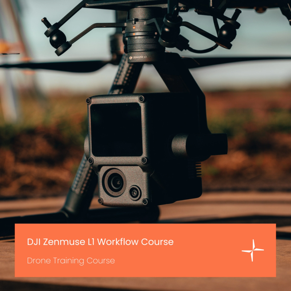
DJI Zenmuse L1 Workflow Course
Free online course to deploy the DJI Zenmuse L1 LiDAR and photogrammetry payload, developed & taught by heliguy™'s in-house surveying team. Watch now.
Expert UK team · tailored advice · no obligation
Product dossier
End-to-end survey workflow training
Zenmuse L1 LiDAR Workflow Training
Workflows for obtaining positional corrections.
Assembly and connection to the DJI D-RTK 2 Base Station.
LiDAR theory.
Best L1 parameters.
Mission Deployment: Topographical surveying, oblique scanning, corridor mapping and terrain follow.
IMU calibration.
Full specifications
Manuals & documents
Frequently asked questions
What will I learn on the DJI Zenmuse L1 LiDAR Course?⌄
You will learn how to best deploy the L1, with the content covering topics such as data capture and post-processing.
The course has been created by our in-house surveying department which has used the DJI Zenmuse L1 extensively in the field.
This course covers a thorough end-to-end workflow for deploying the L1.