50-day return policy⌄
- Return within 50 days of purchase.
- Full refund for unopened, sealed, unactivated items.
- Opened products may still qualify if unused.
- For orders over £100, we can arrange your return via DPD or in-person drop-off.
Next-day delivery — order before 3pm⌄
- Order before 3pm Mon–Fri for next-working-day delivery (free over £99).
- UK Saturday delivery available on orders placed before 3pm Friday.
- After 3pm Friday — dispatched Monday.
- Some UK regions may need 2–3 working days.
Discounted options with main purchase⌄
- Bundle pricing on accessories, spares and training when bought together.
- Reduced rates on add-ons selected at checkout.
- Ask us for a tailored quote on multi-unit or fleet orders.
Emlid Reach RX Rover - Apple MFI Certified
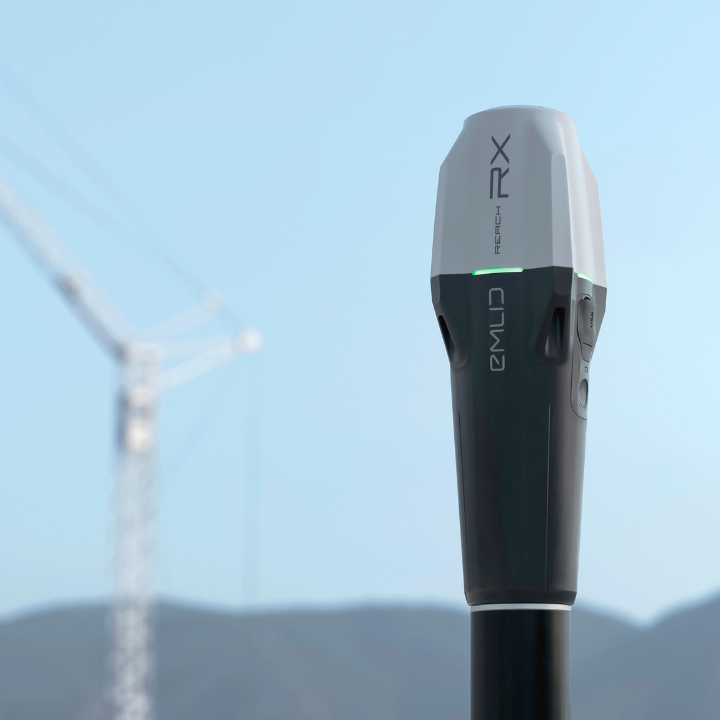
The Emlid Reach RX is a portable, lightweight GNSS rover with centimetre-level accuracy, now Apple MFI certified for seamless surveying with iPhones and iPads.
heliguy support & optional extras
Product dossier
Compatible with Apple devices
Key features
- Lightweight and portable:
Weighs just 250 grams at 172 x 51 x 39 mm, compact enough to fit in a pocket.
- Apple MFI certified:
Integrates seamlessly with iPhones and iPads for reliable, consistent performance.
- Bluetooth Low Energy:
Connects effortlessly to a smartphone or tablet for quick, easy surveying.
- IP68 waterproof:
Withstands water to 1.5 metres and is fully protected against dust and water with silicone plugs.
- Wide temperature range:
Operates in extremes from -20 to +65 °C, suiting diverse environments.
Full specifications
Customer reviews
“This is amazing, I’m an archaeologist and have no experience surveying but I was able to get this receiver configured and connected and did a couple of test surveys within a few hours. All the software to process the data is free and intuitive. And connected easily to my iPhone and Mac. This is going to change how I record and report sites, I’m so glad I invested.”
Frequently asked questions
Will NTRIP work in area with no internet connection?⌄
NTRIP, the standard protocol for streaming GNSS correction data, will not function in areas with weak or no cellular coverage.
How do I connect to the internet?⌄
If you are using the DJI Mavic 3 Enterprise Series, M30 Series, or M300 RTK, you can connect to the Internet using a hotspot or an LTE 4G dongle. The DJI Phantom 4 RTK only allows connection via hotspot.
Can I use PPK workflows for LiDAR and Photogrammetry?⌄
Yes, PPK workflows are suitable for both LiDAR and photogrammetry. For photogrammetry, consider using a 14-day trial of RedCatch Toolbox or EzSurv for centimetre-level corrections. This applies to DJI Mavic 3 Enterprise, Phantom 4 RTK, and M300/Zenmuse P1. For LiDAR, check Heliguy’s free L1 course and view the last 15 minutes of Module 2 for detailed guidance. For further information, contact the surveying team.