50-day return policy⌄
- Return within 50 days of purchase.
- Full refund for unopened, sealed, unactivated items.
- Opened products may still qualify if unused.
- For orders over £100, we can arrange your return via DPD or in-person drop-off.
Next-day delivery — order before 3pm⌄
- Order before 3pm Mon–Fri for next-working-day delivery (free over £99).
- UK Saturday delivery available on orders placed before 3pm Friday.
- After 3pm Friday — dispatched Monday.
- Some UK regions may need 2–3 working days.
Discounted options with main purchase⌄
- Bundle pricing on accessories, spares and training when bought together.
- Reduced rates on add-ons selected at checkout.
- Ask us for a tailored quote on multi-unit or fleet orders.
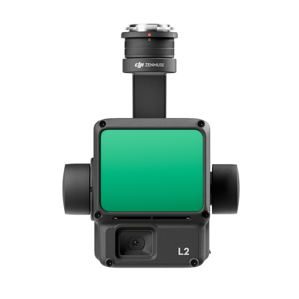
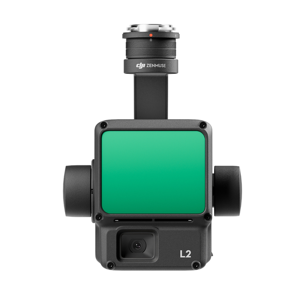
Rental L2 LiDAR Payload
Please upload the required information and documentation to complete your rental.
What do I need to book a rental?
Provide a few key documents, then enjoy your hire.
Insurance
Insure your rental under a hired-in (non-owned) equipment policy. We’ll need a certificate before your kit ships.
Flyer ID
Hold a valid CAA Flyer ID, plus an Operator ID covering the category of aircraft you’re hiring.
Proof of ID
After checkout, send a copy of your passport or driving licence so we can verify the booking.
Product dossier
High-precision scanning with efficient coverage.
Advanced Detection and Scanning Performance
- Detection Range:
450m @ 50% reflectivity, 0klx; 250m @ 10% reflectivity, 100klx.
- Point Cloud Rate:
Single Return Max - 240,000 pts/s. Multiple returns, max 1,200,000 pts/s.
- Scanning Modes:
L2 has non-repetitive scanning pattern and repetitive scanning pattern. This increases the likelihood of objects and other details being detected within the FOV.
5 Returns: Up to 5 returns @ 240kHz.
- More Concentrated Energy:
Smaller beam size - laser spot size is 4 x 12cm @ 100m, 1/5th of the L1.
- Highly Accurate:
Horizontal 5cm @ 150m flight altitude; Vertical: 4cm @ 150m flight altitude.
- Efficient:
Collect data while flying at up to 15m/s. Cover up to 2.5km-squared in a single flight.
Full specifications
Manuals & documents
Frequently asked questions
What improvements does Zenmuse L2 have compared to the L1?⌄
The performance of the DJI Zenmuse L2's LiDAR has improved to about 1/5 of L1’s spot size when the object or area is 100m from the LiDAR. The LiDAR's penetration ability has been significantly increased, and its detection range and accuracy have improved. The pixel size of the RGB camera has increased by 89% compared to L1's 2.4 × 2.4μm. The accuracy of the IMU has improved to 0.05° (real-time) and 0.025° (post-processing). The LiDAR supports Laser Rangefinder (RNG).
What aircraft is Zenmuse L2 compatible with?⌄
DJI Zenmuse L2 is compatible with the DJI Matrice 400, DJI Matrice 350 RTK, and the DJI Matrice 300 RTK when used with the DJI RC Plus. Before using, please upgrade the firmware of the aircraft and remote controller to the latest version. To ensure mapping accuracy, make sure the L2 is mounted on a single downward gimbal connector with the cable connected to the right USB-C port (when facing the aircraft).
What is the surveying and mapping accuracy of Zenmuse L2?⌄
The surveying and mapping accuracy of the DJI Zenmuse L2 is: Horizontal accuracy: 5 cm Vertical accuracy: 4 cm Measured under the following conditions in a DJI laboratory environment: The DJI Zenmuse L2 mounted on a Matrice 350 RTK and powered up. Using DJI Pilot 2’s Area Route to plan the flight route (with Calibrate IMU enabled). Using repetitive scanning with the RTK in the FIX status. The relative altitude was set to 150 m, flight speed to 15 m/s, gimbal pitch to -90°, and each straight segment of the flight route was less than 1500 m. The field contained objects with obvious angular features, and used exposed hard ground check points that conformed to the diffuse reflection model. DJI Terra was used for post-processing with Optimize Point Cloud Accuracy enabled. Under the same conditions with Optimise Point Cloud Accuracy not enabled, the vertical accuracy is 4 cm and the horizontal accuracy is 8 cm.
What is L2's RGB camera used for?⌄
When the DJI Zenmuse L2 is collecting point cloud data, the RGB camera can provide real-time colour information for the data, and the photos taken can be used for reconstructing 2D RGB models. When there is no need to gather point cloud data, the RGB camera can take photos and videos, and collect images for reconstructing 2D or 3D RGB models.
What CMOS size is Zenmuse L2’s RGB camera? And what is its pixel size?⌄
The DJI Zenmuse L2's RGB camera uses a 4/3 CMOS, and the pixel size is 3.3 × 3.3 μm.
What is the IMU accuracy of Zenmuse L2?⌄
The DJI Zenmuse L2's IMU accuracy is: Yaw Accuracy: Real-time: 0.2°, Post-processing: 0.05° Pitch/Roll Accuracy: Real-time 0.05°, Post-processing 0.025° Horizontal Positioning Accuracy: 1 cm + 1 ppm (RTK FIX) Vertical Positioning Accuracy: 1.5 cm+1 ppm (RTK FIX) The yaw and pitch/roll accuracies were measured under the following conditions in a DJI laboratory environment: Zenmuse L2 mounted on a Matrice 350 RTK and powered up. Using DJI Pilot 2’s Area Route to plan the flight route (with Calibrate IMU enabled). RTK in the FIX status. The relative altitude was set to 150 m, flight speed to 15 m/s, gimbal pitch to -90°, and each straight segment of the flight route was less than 1500 m.
What is the protection level of the Zenmuse L2?⌄
DJI Zenmuse L2 achieves an IP54 rating according to the IEC60529 standard under controlled laboratory conditions. To ensure the highest levels of protection: • Before installing, make sure that the interface and surface of the gimbal are dry; • Before use, make sure that the gimbal is firmly installed on the drone and the SD card protective cap is clean, free of foreign objects, and closed; • Before opening the SD card protective cap, wipe the surface of the drone clean. The protection level will decrease over time due to normal device use and wear.
What is the Field of View (FOV) of Zenmuse L2's LiDAR?⌄
The field of view (FOV) of the DJI Zenmuse L2 is: Repetitive scanning: Horizontal 70°, Vertical 3° Non-repetitive scanning: Horizontal 70°, Vertical 75°