50-day return policy⌄
- Return within 50 days of purchase.
- Full refund for unopened, sealed, unactivated items.
- Opened products may still qualify if unused.
- For orders over £100, we can arrange your return via DPD or in-person drop-off.
Next-day delivery — order before 3pm⌄
- Order before 3pm Mon–Fri for next-working-day delivery (free over £99).
- UK Saturday delivery available on orders placed before 3pm Friday.
- After 3pm Friday — dispatched Monday.
- Some UK regions may need 2–3 working days.
Discounted options with main purchase⌄
- Bundle pricing on accessories, spares and training when bought together.
- Reduced rates on add-ons selected at checkout.
- Ask us for a tailored quote on multi-unit or fleet orders.
XGRIDS Lixel L2 Pro Drone Mounting Bracket
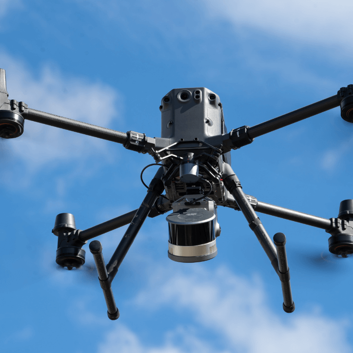
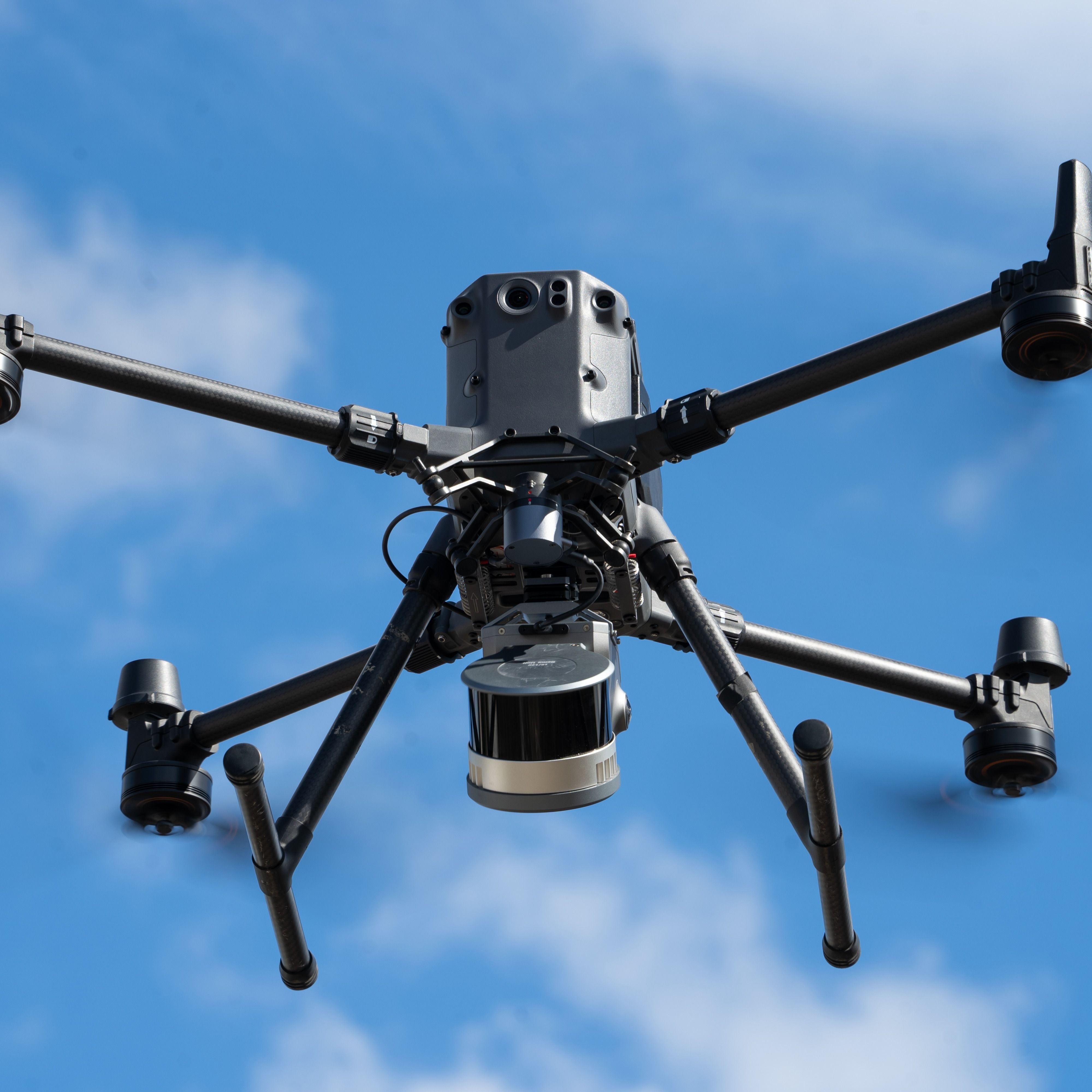
Drone mounting bracket for the XGRIDS L2 Pro scanner. Use the mount to collect aerial survey data with the DJI M350 RTK and DJI M300 RTK.
Product dossier
SLAM surveying for DJI drones
Aerial mapping with XGRIDS Lixel L2 Pro
- Versatile scanning:
The XGRIDS Lixel L2 Pro is a handheld scanner, which can now be integrated with DJI drones via the dedicated mounting bracket.
- DJI drone integration:
Use the Mounting Bracket to integrate the L2 Pro with the DJI M350 RTK or M300 RTK for efficient aerial LiDAR data collection.
- Seamless air-to-ground surveys:
Capture aerial data and combine it with handheld scans to create complete accurate datasets with fewer blind spots.
- Real-time processing:
Combines LiDAR, cameras, and IMU sensors with advanced AI-powered SLAM to generate real-time point clouds that rival post-processed results, significantly reducing processing time.
Full specifications
Watch it in action
Frequently asked questions
Which drones are compatible with the XGRIDS L2 Pro Drone Mounting Bracket?⌄
The XGRIDS L2 Pro Drone Mounting Bracket is compatible with the DJI M350 RTK and DJI M300 RTK.
Please ensure the drone has a gimbal connector.
What outputs does the L2 Pro produce when used with the drone mount?⌄
When used with the drone mount, the L2 Pro supports true-colour point clouds.
However, point cloud enhancement, Gaussian Splatting, and Map Fusion are not supported when the L2 Pro is attached to a drone.
What is the recommended flight speed of the drone when surveying with the XGRIDS L2 Pro?⌄
When using the XGRIDS L2 Pro with the drone mount, the recommended flight speed of the UAS is 3m/s. Please note that the maximum flight speed is 5m/s.
What is the accuracy of the XGRIDS L2 Pro when used with the drone mount?⌄
When used with the drone mount, the XGRIDS L2 Pro achieves the following accuracy:
• Absolute Accuracy: Horizon RMSE, 6cm; Vertical RMSE, 7cm.
• Relative Accuracy: 2cm
• Repeatability: 3cm
How many versions are there of the Lixel L2 Pro?⌄
There are three versions of the Lixel L2 Pro. These are:
• 16 Channel - 120m scan range; 320,000 pts per second
• 32 Channel - 120m scan range; 640,000 pts per second
• 32 Channel - 300m scan range; 640,000 pts per second