50-day return policy⌄
- Return within 50 days of purchase.
- Full refund for unopened, sealed, unactivated items.
- Opened products may still qualify if unused.
- For orders over £100, we can arrange your return via DPD or in-person drop-off.
Next-day delivery — order before 3pm⌄
- Order before 3pm Mon–Fri for next-working-day delivery (free over £99).
- UK Saturday delivery available on orders placed before 3pm Friday.
- After 3pm Friday — dispatched Monday.
- Some UK regions may need 2–3 working days.
Discounted options with main purchase⌄
- Bundle pricing on accessories, spares and training when bought together.
- Reduced rates on add-ons selected at checkout.
- Ask us for a tailored quote on multi-unit or fleet orders.
MetScan V1 Methane Scanning System
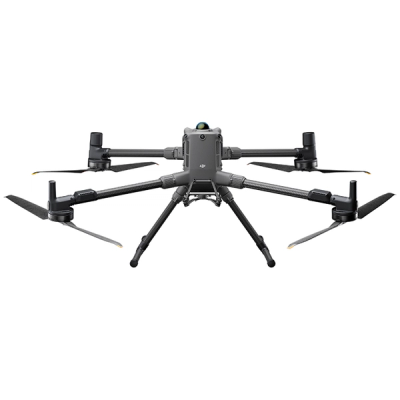
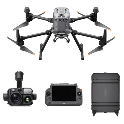
Soarability MetScan V1 is a UAV-based methane 3D detection system designed for leak detection in the natural gas industry. It is compatible with the DJI Matrice 400, DJI M350 RTK, and DJI M300 RTK. The DJI M400 supports multi-payloads: Use MetScan V1 with Sniffer4D Nano2+ Multi-Gas module or Sniffer4D Nano2+ Methane unit.
Expert UK team · tailored advice · no obligation
Product dossier
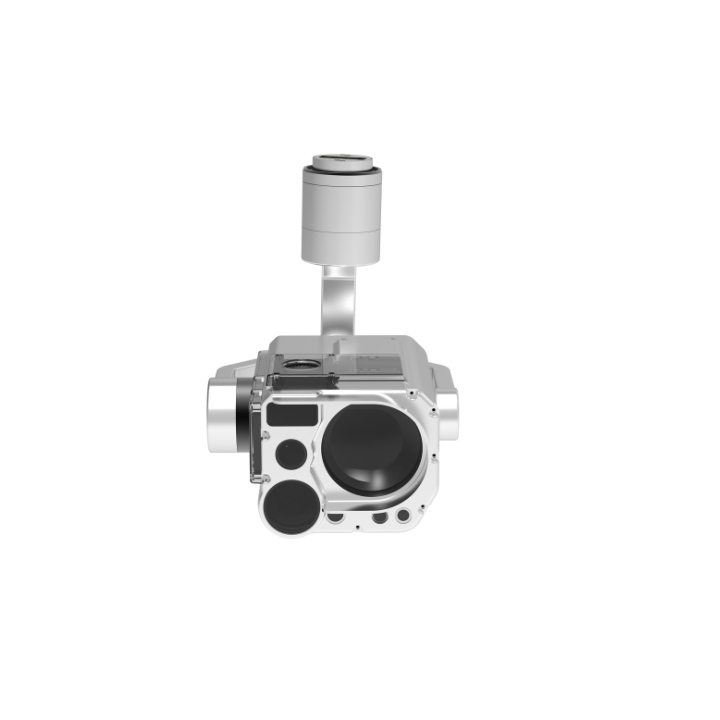
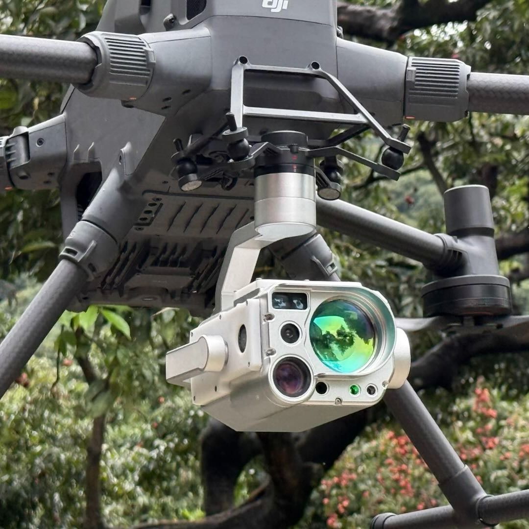
Dual camera and laser rangefinder
MetScan V1 Drone Gas Detection
- Remote sensing methane sensor:
Benefit from a measurement range of 0-99,999 ppm·m; accuracy of 10% relative error (for 1,000-50,000 ppm·m); and 50Hz sampling rate. The remote sensing methane sensor has a detection distance of up to 400m (night) and up to 160m (noon).
- Dual cameras:
Integrated 35mm (equiv) wide-angle and 300mm (equiv) telephoto cameras enable real-time dual-view fusion, combining broad-area inspection with long-distance, HD imaging. Also support video recording.
- Integrated laser rangefinder:
Provides distance measurements to targets, with a ranging distance of up to 800m in low-light conditions and 500m in daytime. The laser rangefinder is used for accurately georeferencing the methane readings (latitude, longitude, and relative altitude).
- 3-axis stabilised gimbal:
Ensures pinpoint laser measurements and clear imagery, even from a long distance.
Full specifications
Frequently asked questions
Which drones are compatible with the AIRINS MetScan V1?⌄
The AIRINS (formerly Soarability) MetScan V1 is compatible with drones such as the DJI Matrice 400, DJI M350 RTK, and DJI M300 RTK.
The DJI M400 supports multi-payloads: Use MetScan V1 with either Sniffer4D Nano2+ Multi-Gas module, or the Sniffer4D Nano2+ Methane unit to collect more data in a single mission.