Drone Survey Payloads
Survey-grade payloads for photogrammetry and LiDAR — Zenmuse L2, P1 and the broader DJI survey ecosystem. Pair with M350 RTK, M400 or M3E for centimetre-accurate output.

DJI Zenmuse L3
DJI Zenmuse L3 is a powerful drone LiDAR payload for the DJI Matrice 400. It features high-performance LiDAR, dual 100MP mapping cameras, and a precision inertial navigation system for efficient and precise drone surveys.

DJI Zenmuse L2
High-accuracy plug-and-play LiDAR and RGB payload for true-colour point-cloud generation. Compatible with DJI M400, M350 RKT, and M300 RTK.

DJI Zenmuse P1
A precise surveying tool with a 45MP full-frame photogrammetry camera, mechanical shutter, and interchangeable lenses.

Share UAV 203S PRO
225MP camera equipped with five lenses for high-efficiency oblique mapping. Compatible with DJI M350 RTK and DJI M300 RTK.

Share UAV PSDK 102S V3
Oblique mapping camera embedded with five 25.16MP sensors. Integrate with the DJI M350 RTK and DJI 300 RTK.

DJI Zenmuse L1
Highly accurate LiDAR and 20MP RGB aerial surveying solution for mapping, AEC, emergency response, energy, and agriculture.
LiDAR + photogrammetry · survey-grade output
The Zenmuse line for surveying, mapping, mine modelling and engineering.
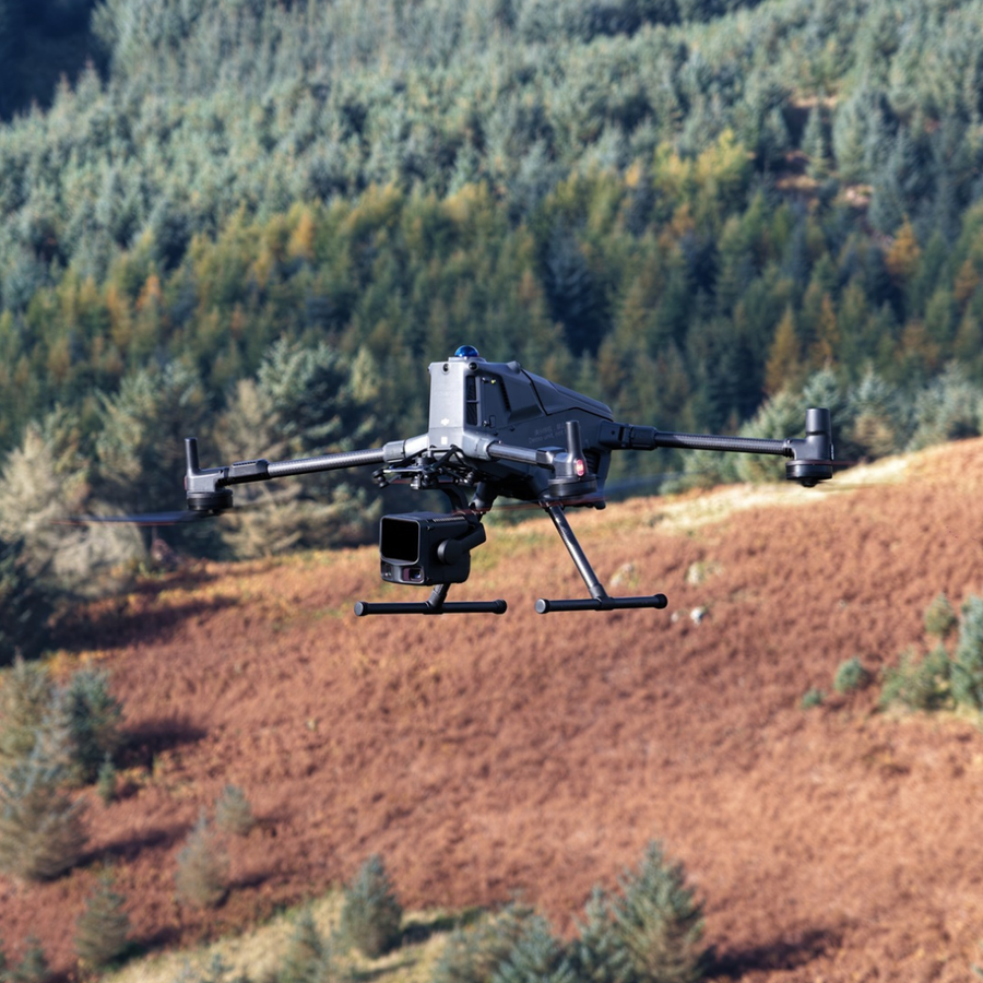
Drone survey payloads cover both LiDAR (Zenmuse L3/L2 for point-cloud reality capture) and photogrammetry (Zenmuse P1 for 45 MP full-frame mapping). Pair with the DJI M350 RTK or M400 airframe and the Zenmuse-compatible gimbal interface for cm-accurate ground-control-free deliverables.
Enterprise expertise, end-to-end support, trusted UK delivery
Buying the Drone Survey Payloads from heliguy means full lifecycle support, not just the aircraft.
Product consultation
Guidance on variant selection, payload pairing and sector use cases.
Training & onboarding
Industry-specific instruction on workflows, mission execution and CAA compliance.
Survey & integration
Expert support turning drone data into accurate digital models and decisions.
DJI-authorised repairs
UK-based diagnostics, servicing and lifecycle maintenance — keeping your fleet in the air.
Specifying a survey payload?
Talk to a heliguy surveying specialist about L2 vs P1, RTK pairing and post-processing software.