Drone Software
Packages for 3D modelling, flight planning and fleet management — DJI Terra, DJI Modify, FlightHub 2 (cloud and on-premises), Terrasolid, Esri Site Scan and the broader software ecosystem.

DJI Terra
DJI Terra is an easy-to-use mapping software for DJI drones that supports all missions from data acquisition all the way through to analysis.

DJI Modify
DJI Modify is an intelligent 3D model editing software for drone photogrammetry data. It is a complementary software to DJI Terra.

DJI FlightHub 2
All-in-one cloud-based drone operations management platform for the DJI Dock ecosystem, DJI M350/M300 RTK, DJI M30 Series, DJI Matrice 4 Series, and DJI Mavic 3 Enterprise Series.

DJI FlightHub 2 On-premises
DJI FlightHub 2 On-premises is a secure and private version of DJI's drone management software. It is designed for enterprises that require robust data security practices.

DJI FlightHub 2 AIO
DJI FlightHub 2 AIO is a plug-and-play solution designed for quick configuration, flexible deployment, and built-in protection for enhanced data security. View now.

Terrasolid UAV Bundle
Terrasolid is a leading software platform for point cloud and image processing. It can be used as a companion software to DJI Terra.

FlytBase
Drone operations software platform to empower automated and remote drone flights with the DJI Dock 2 and DJI Dock.

Drone Harmony
Enterprise-level mission planning and flight execution platform, featuring a full 3D interface to streamline operational preparations.

Esri Site Scan for ArcGIS
Site Scan for ArcGIS is an end-to-end, cloud-based drone mapping software that revolutionises drone imagery data collection, processing, and analysis.

AirHUD
AirHUD is the first real heads-up display for professional drone pilots, providing unlimited situational awareness. View real-time information in a 3D 360° virtual space.

Network RTK Subscription - Premium Positioning
Premium Positioning offers accurate RTK correction services worldwide, with seamless cross-border coverage.

XGRIDS Lixel Cyber Color (LCC)
The LCC studio creates photorealistic 3D models using Multi-SLAM and DGS tech. Ideal for complex scenes and spatial computing integration.
Modelling, mission planning, fleet operations
From point-cloud processing to fleet-scale cloud management.
Drone software covers the full data pipeline — from in-flight mission planning (Drone Harmony, FlightHub 2) and fleet automation (FlightHub 2 On-Premises, FlytBase) to deliverable production (DJI Terra, Modify, Terrasolid, Esri Site Scan). heliguy supplies, configures and supports each package end-to-end.
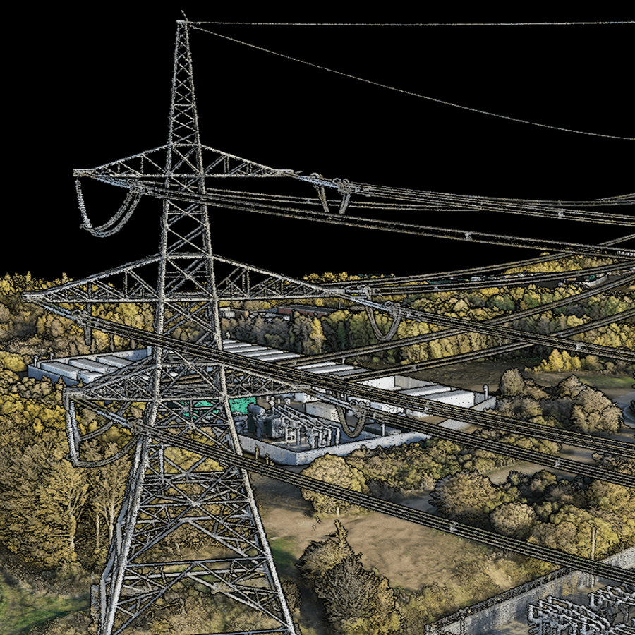
Software supplied, configured and supported in the UK
Buying drone software from heliguy means proper setup and ongoing support — not just a licence file.
Software consultation
Guidance on Terra vs Modify, Terrasolid bundles, FlightHub 2 cloud vs On-Premises.
Configuration & deployment
On-Premises rollout, RTK base configuration and post-processing pipeline setup.
Training
Operator and admin training on the packages you deploy.
UK aftercare
Licence renewals, support cases and version-upgrade guidance.
Specifying a software stack?
Talk to a heliguy specialist about Terra vs Modify, FlightHub deployment models and Terrasolid bundles.